

Thanks to amazing friends, I have the first tiny section of the Appalachian Trail done. This was just enough to get a little taste of the trail, an appetizer, an aperitif, a tidbit.
There are so many YouTubers and Instagram personalities out there that romanticize backpacking and long distance hiking. I’m here to tell you, sometimes it’s ugly, mean, and downright painful. It is not all beautiful mountains and sunshiny wildflowers. I’m from Florida. You know what we don’t have here? Hills. Our highest “mountain” stands at 345 feet on Britton Hill. Three hundred and forty-five. That’s barely an ant hill. I did some hiking in the Colorado Rockies. Those are mountains. What I experienced in Georgia was mild compared to the 14,000 feet of elevation out west, but it was still pretty brutal for this flat lander.

You know what else we don’t have a lot of in Florida? Rocks. Okay, so we’re sitting on limestone at 0ft elevation for the most part, and hiking through Big Cypress takes you through some crazy rocky terrain that’s underwater. There are holes you could lose a foot in. But they’re totally different from the rocky paths that lead up and down mountains. These rocks rock and roll. They also like to eat trekking poles for breakfast. But I digress. Let me tell you about this little adventure.
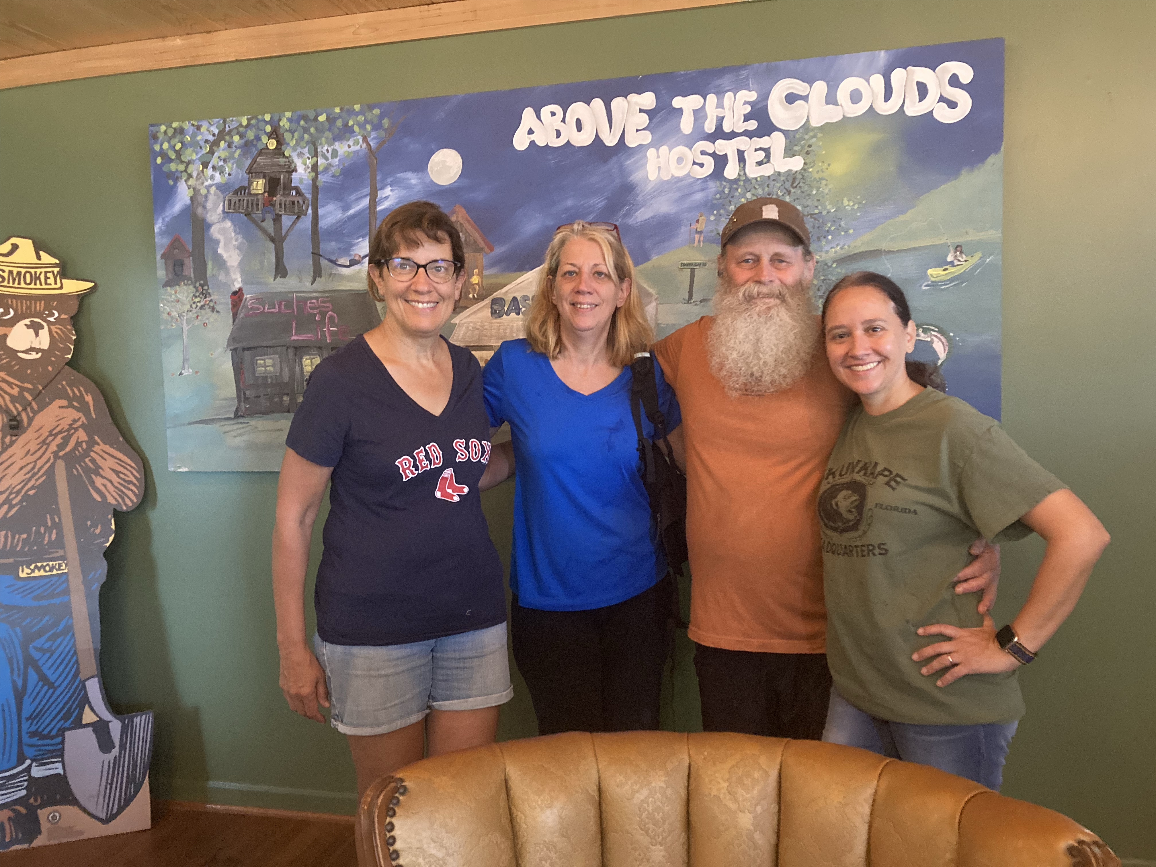
Two of my friends who are sisters were planning a trip to hike a bit of the AT. I happened to mention on Facebook that I was looking for some people to hike with me, and sister 1, Anne, was kind enough to invite me along. So, for a few days, I was their honorary fourth sister. (They have another sister who didn’t hike with us.)
We started the trip in a hotel near where sister 2, Cathy, lives. Then the next morning we made the six hour drive to our hostel, after taking a little side trip to Mountain Crossings, an outdoor outfitter in North Georgia that happens to be located directly on the Appalachian Trail.
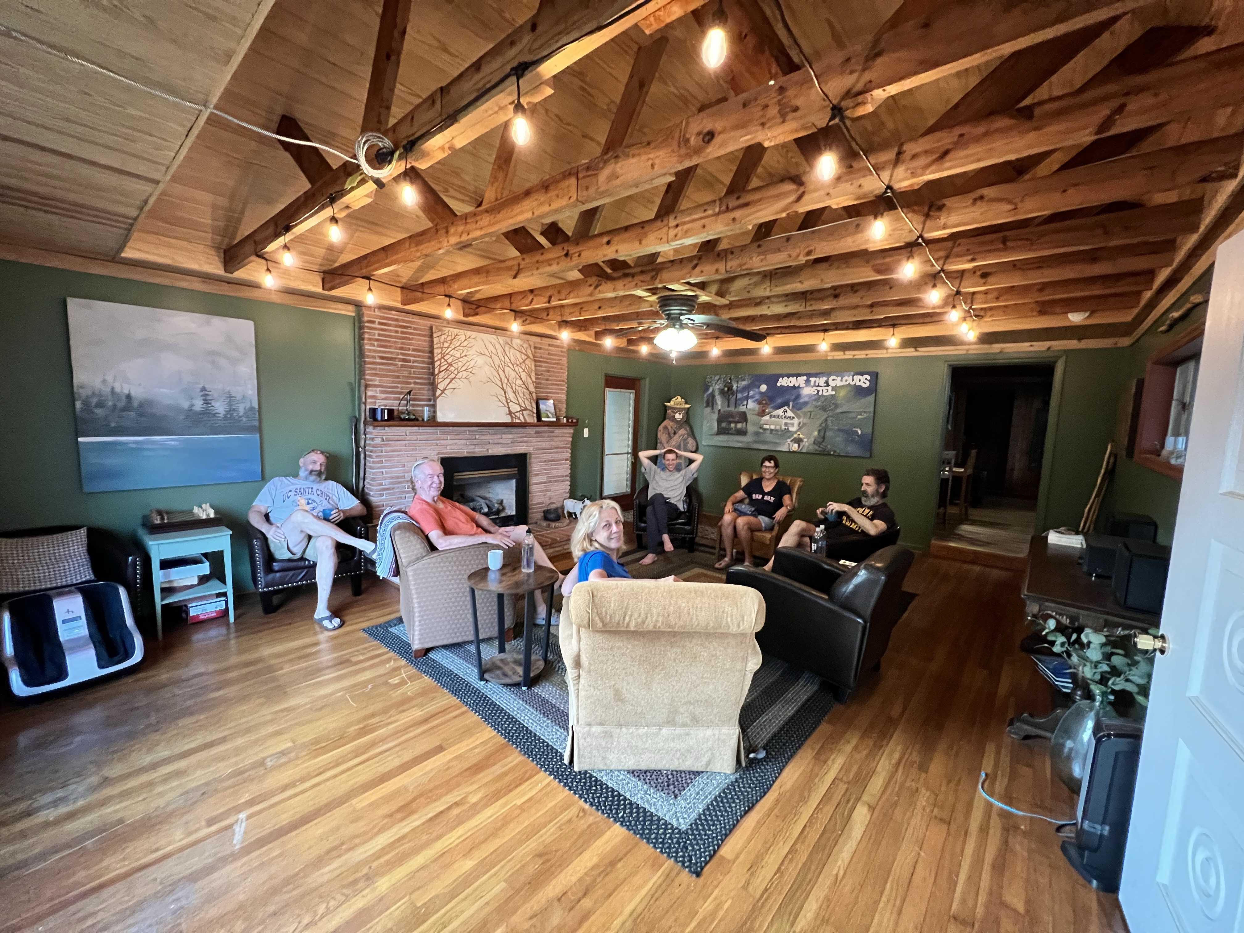
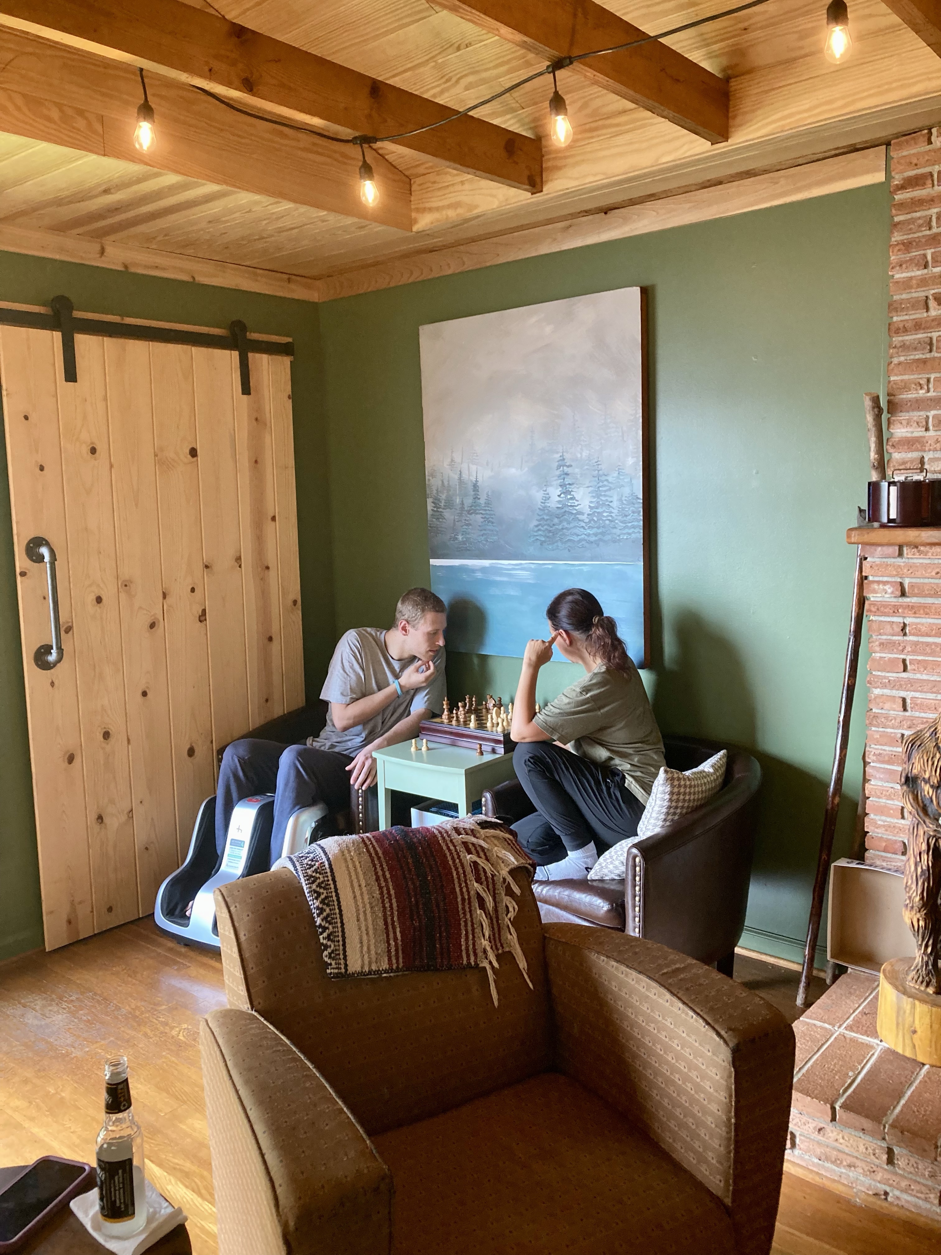
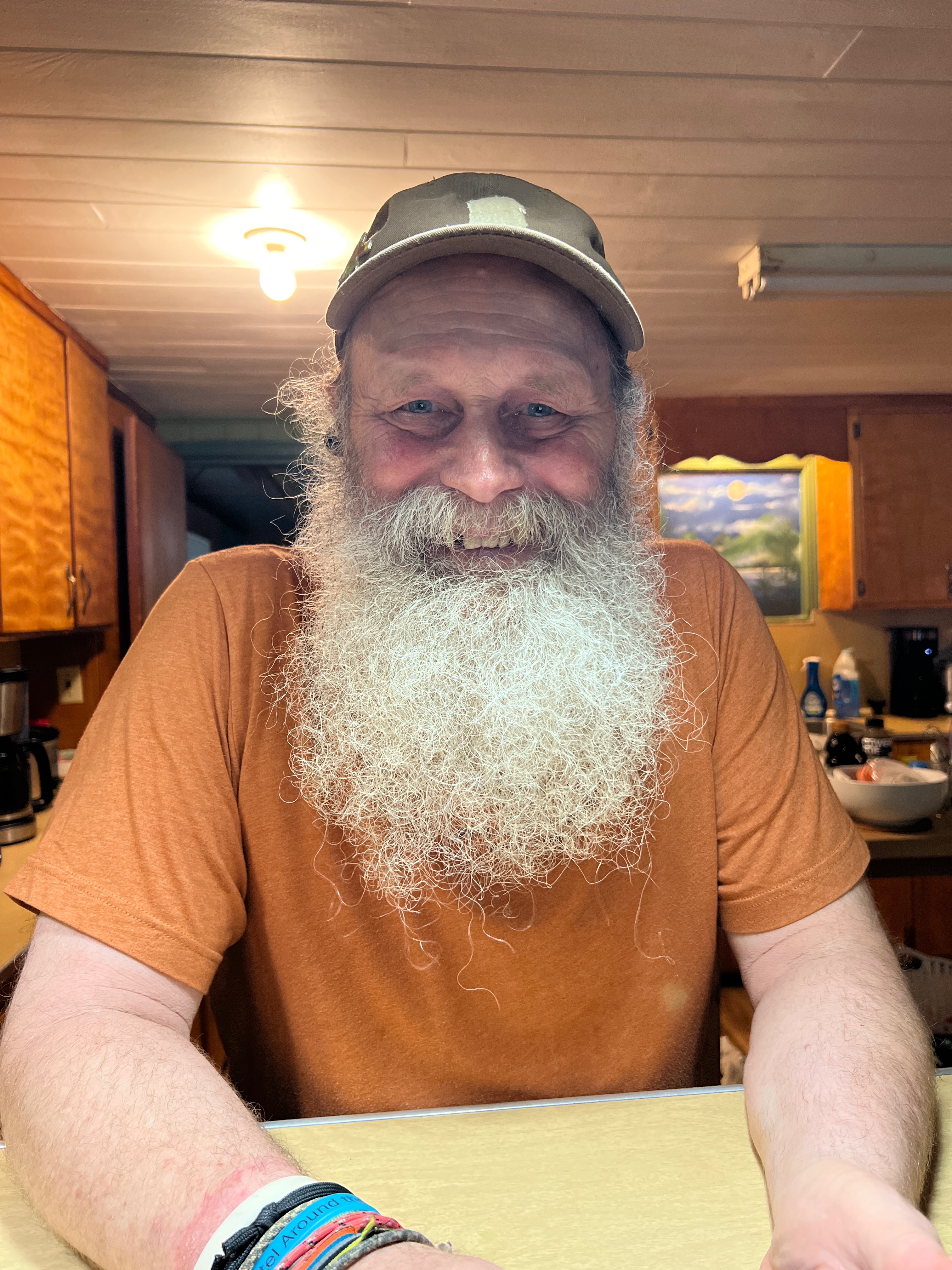
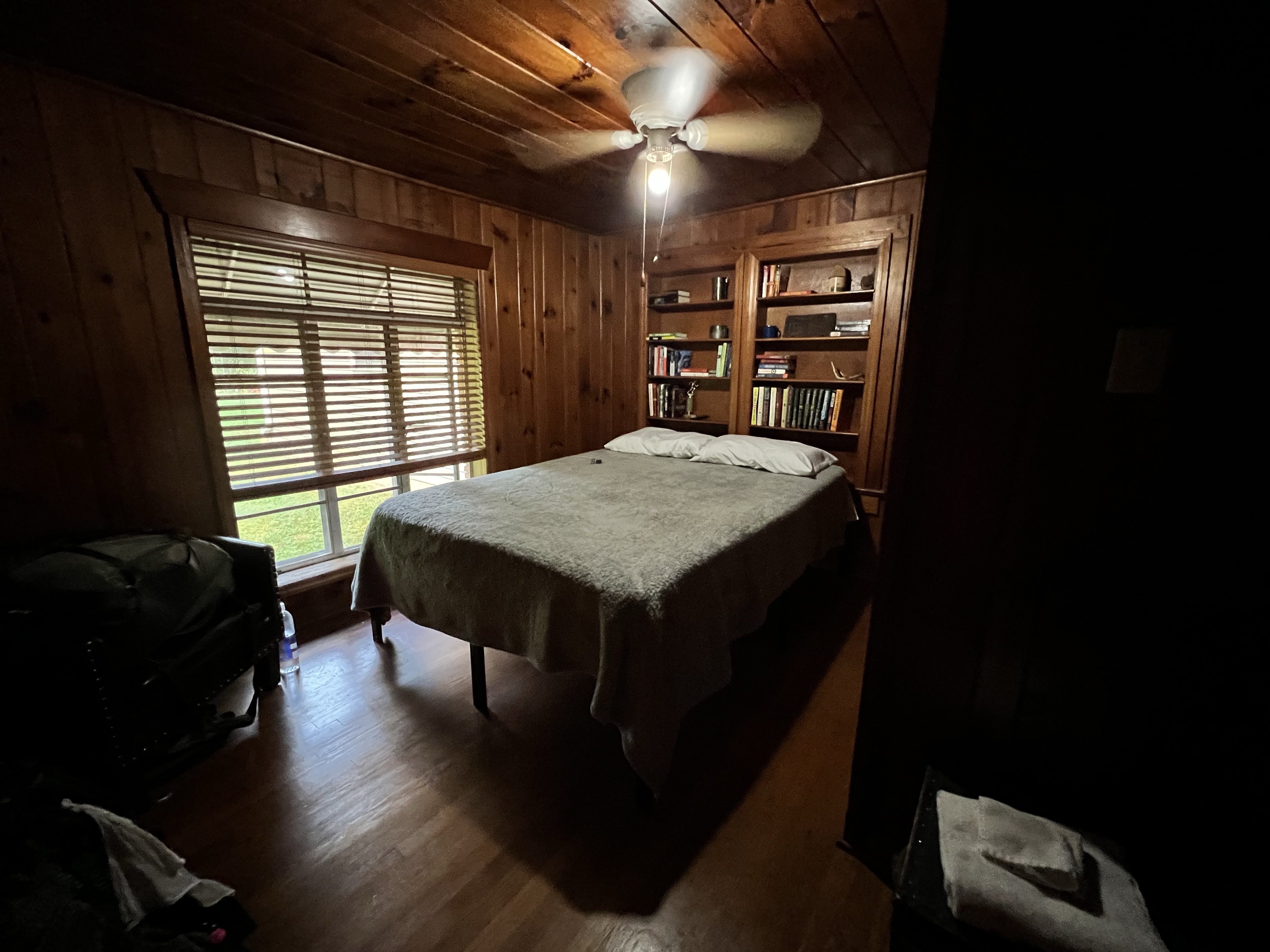
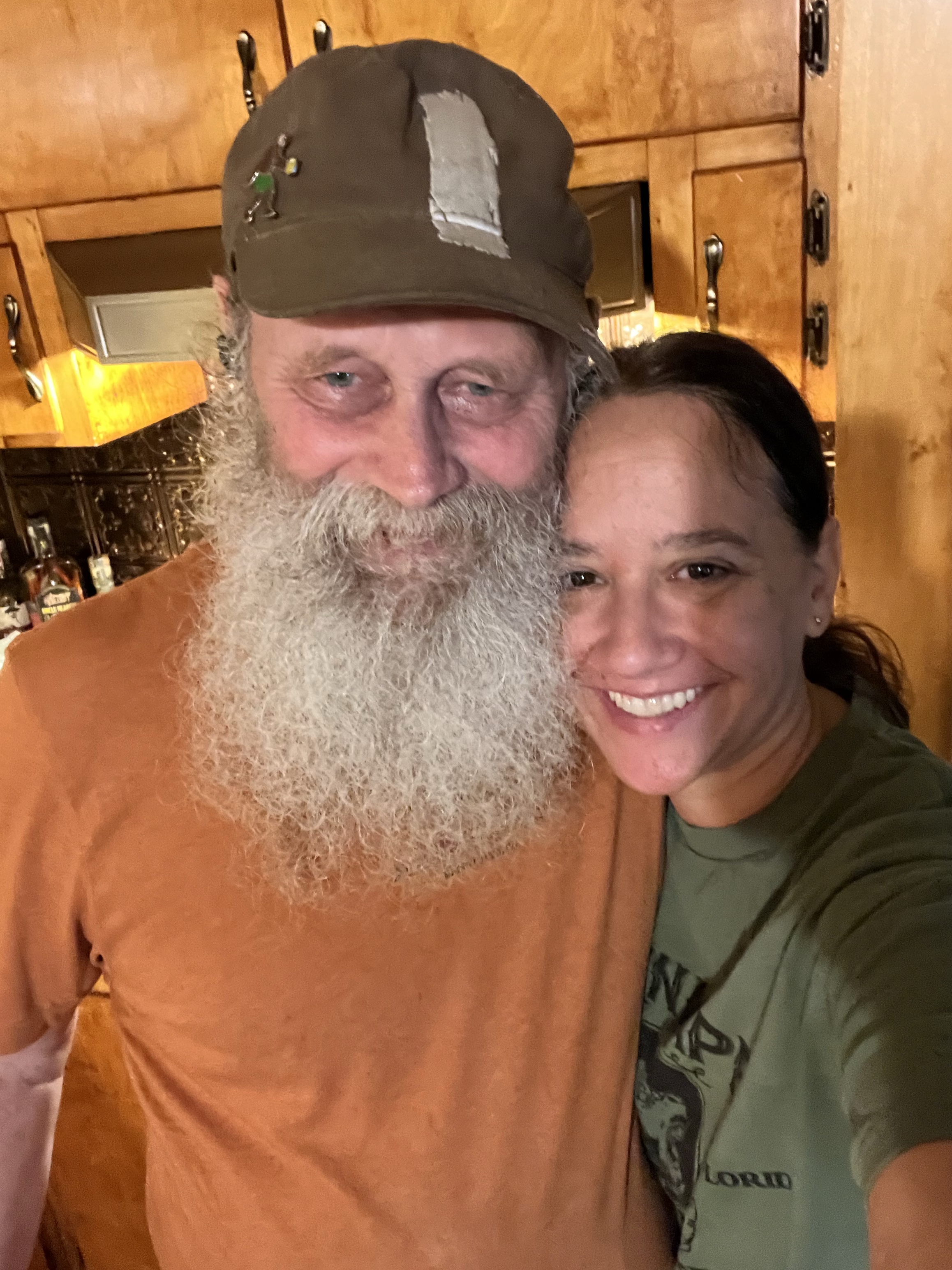
The hostel was a great experience! The first night, it was just us and our host, Nimrod. Nimrod (his trail name) is a wealth of information and an excellent cook! He was very thoughtful and able to accommodate my dietary (no dairy) needs.
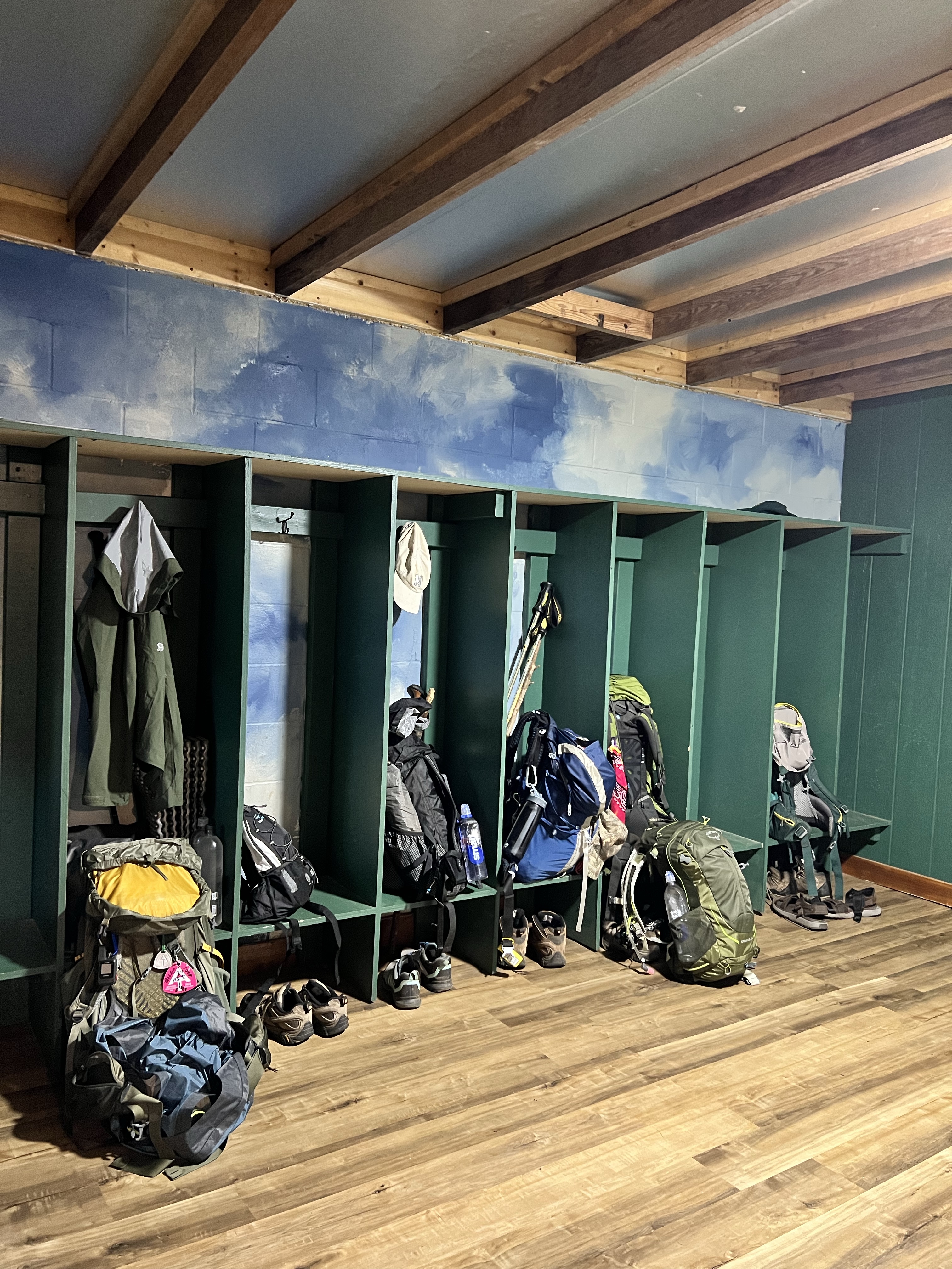
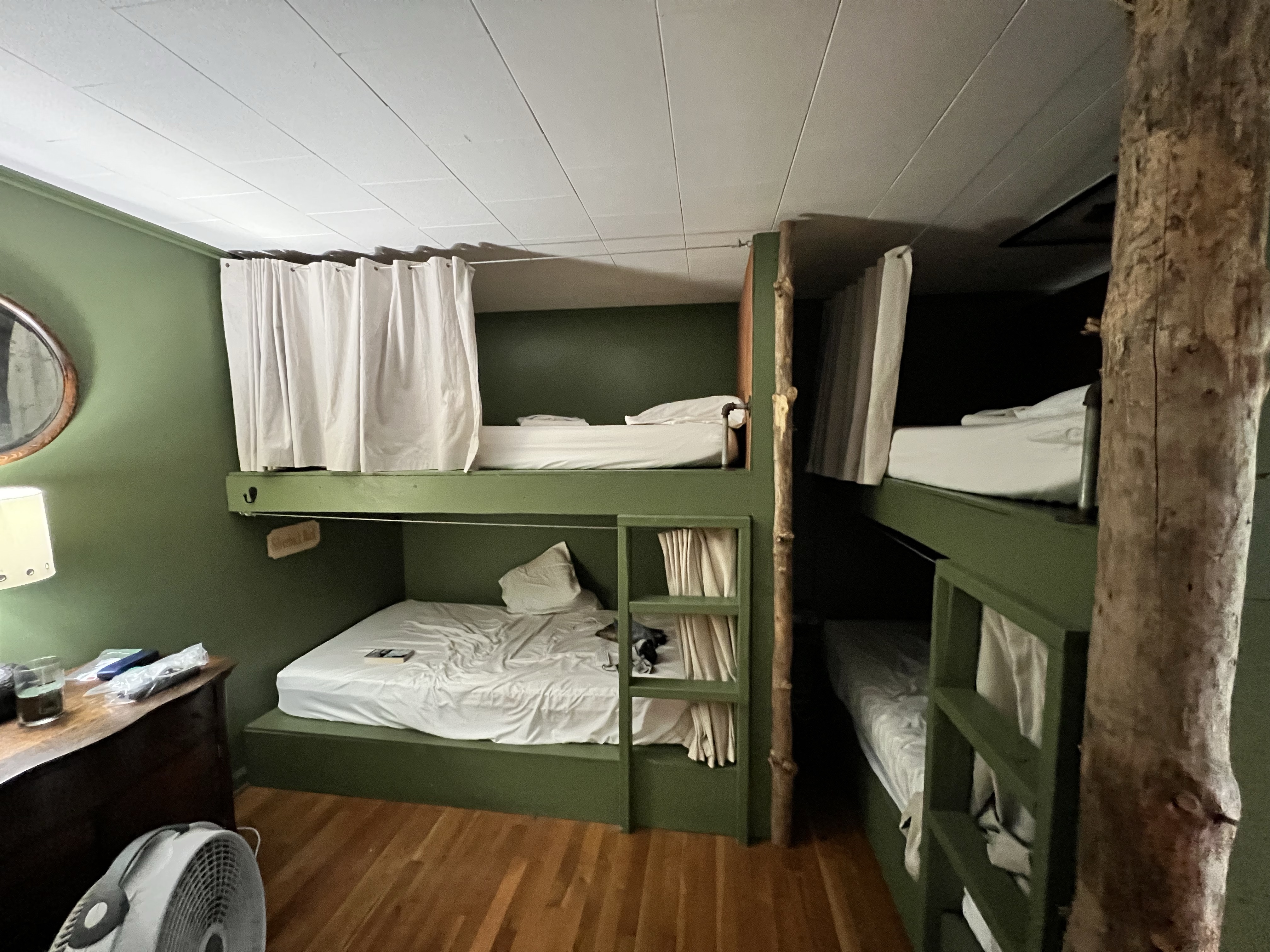
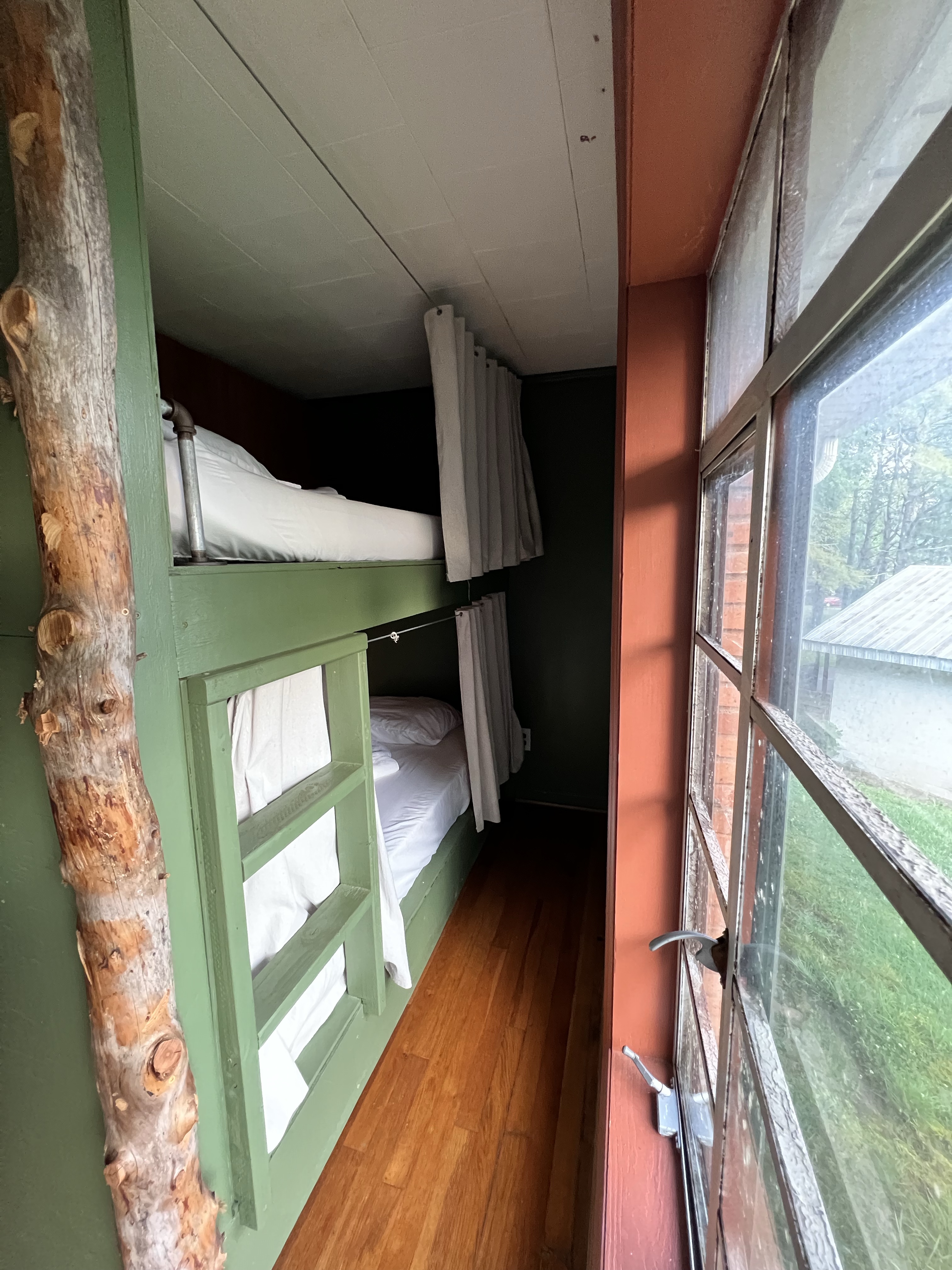
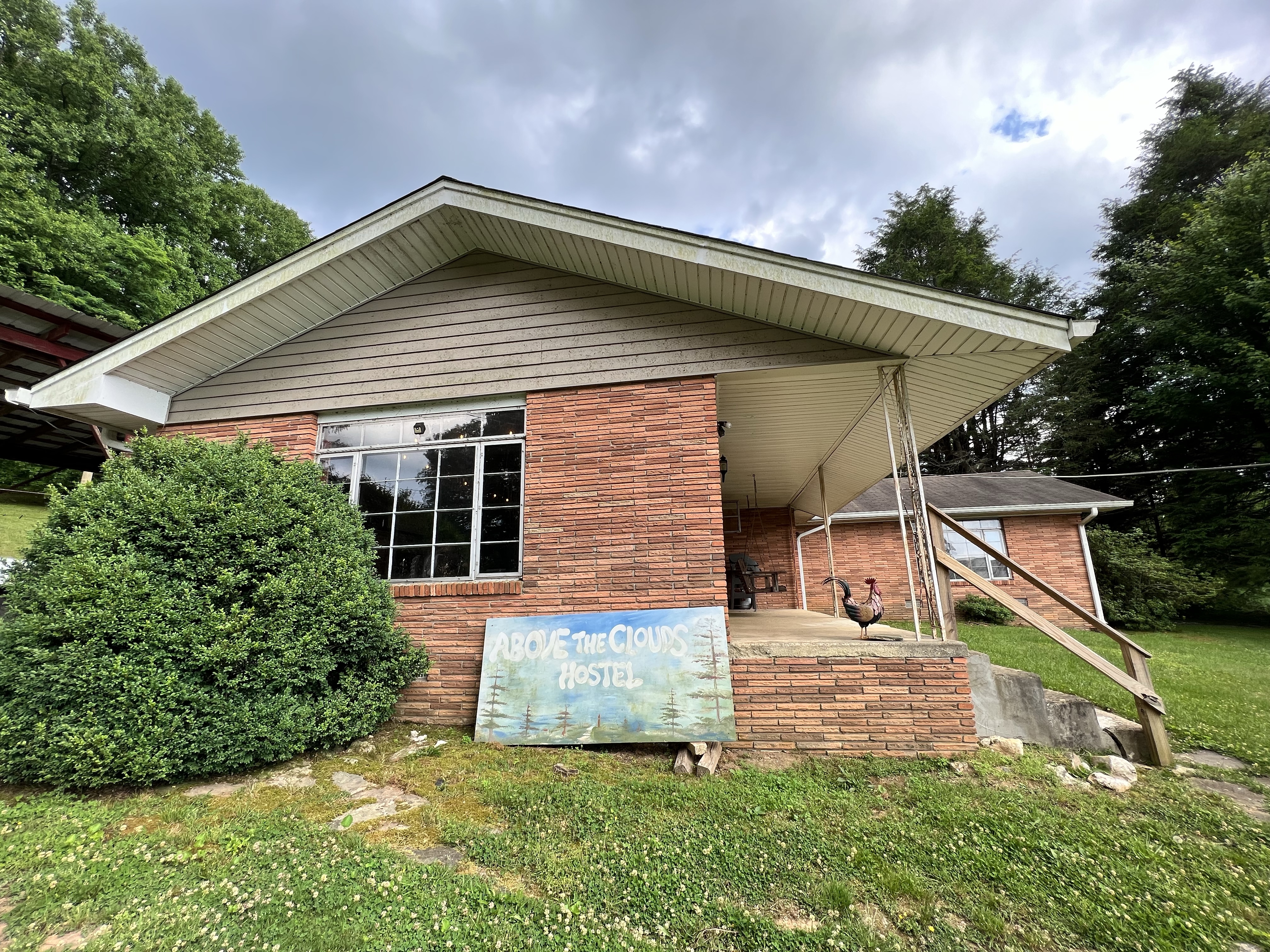
The hostel has bunks, a private room, or two little cabins you can sleep in. There are three shared bathrooms, and a nice common area. There’s also a pantry where you can purchase beverages and snacks, including pizza and ice cream. We stayed here our first night in town, and our last night, when Nimrod picked us up from where we ended our hike, at Woody Gap. You can find more info about this hostel on the Above the Clouds website.


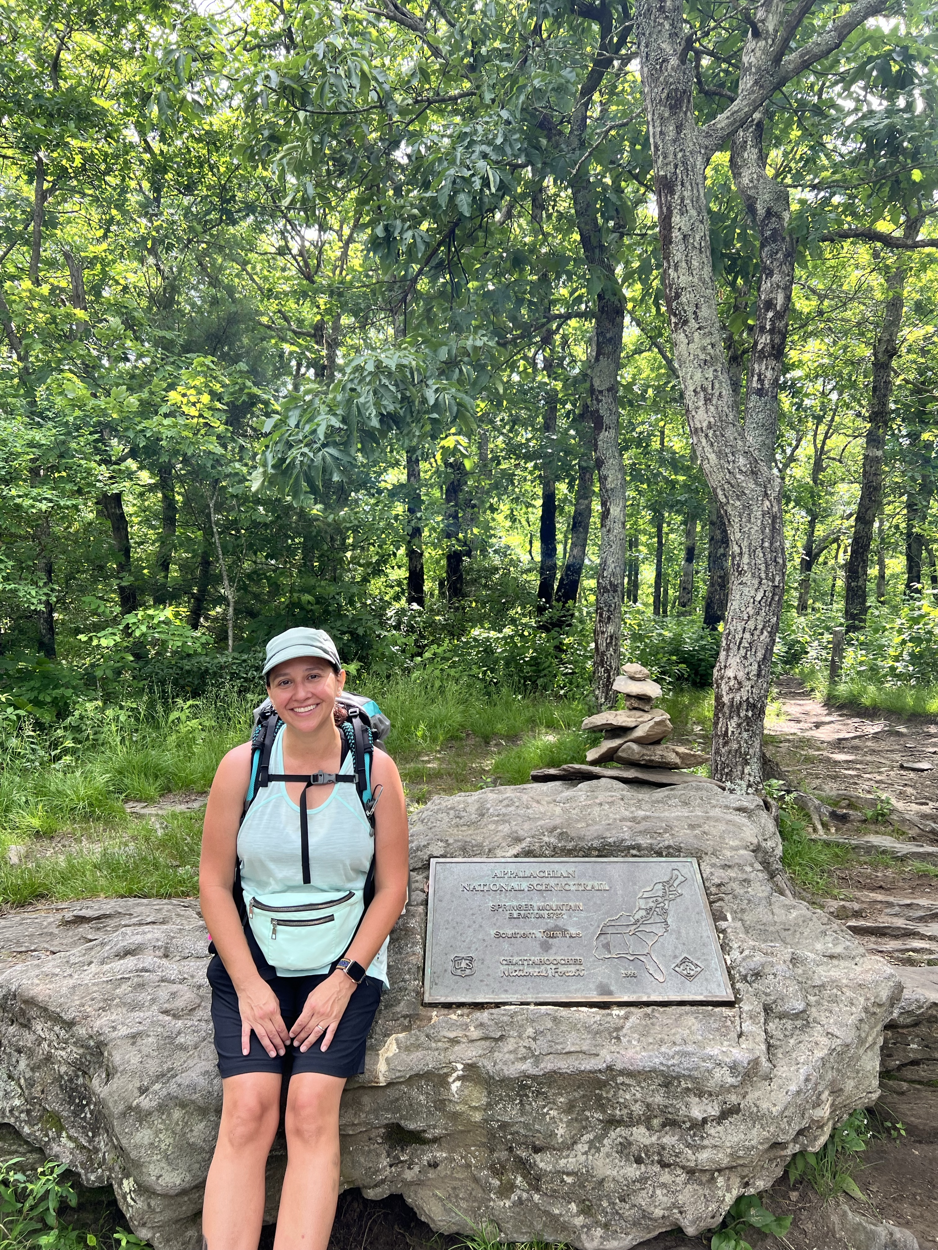
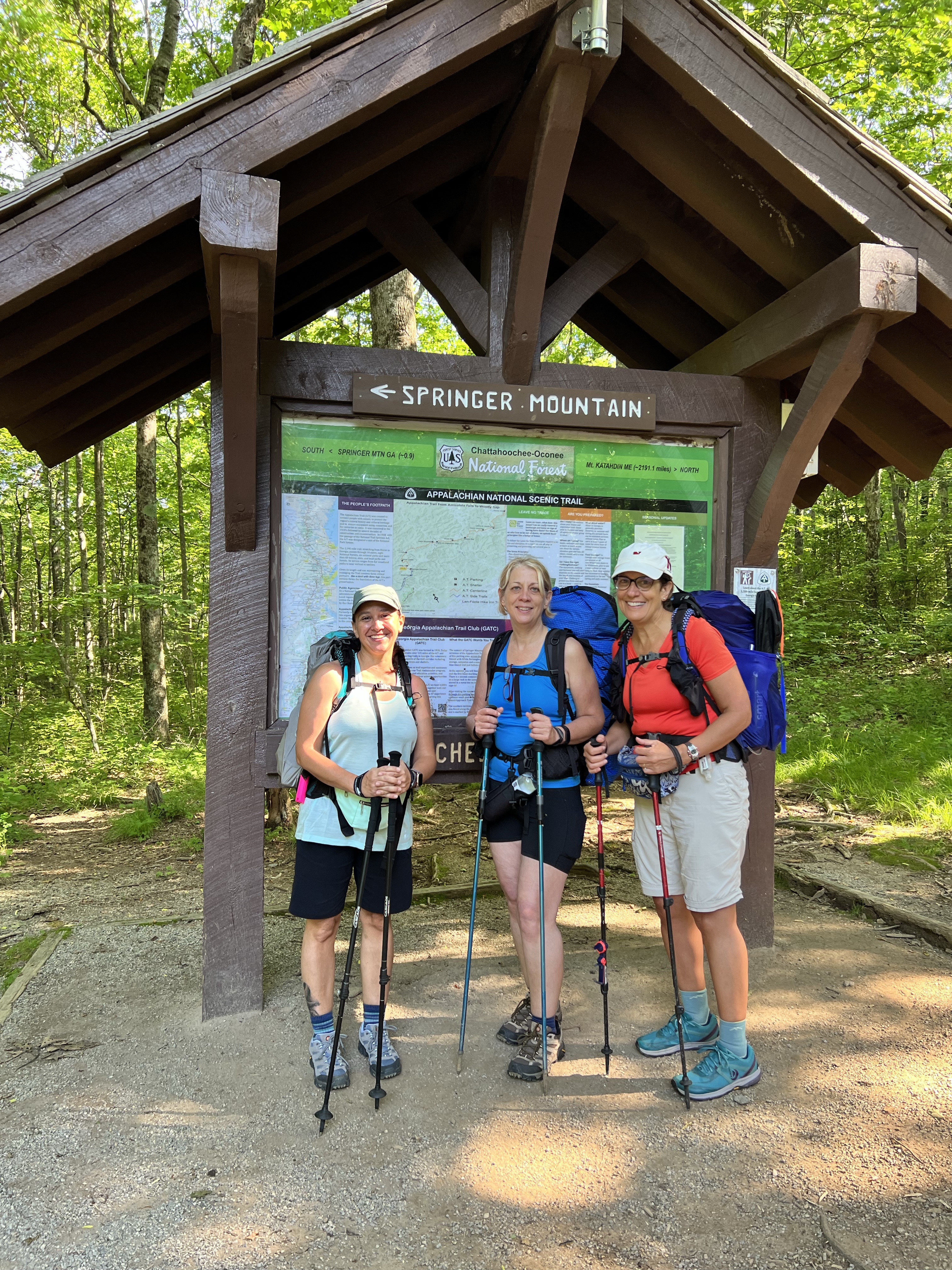
Springer Mountain is the official southern terminus of the Appalachian trail. To get there, you have to either hike 8.8 miles from Amicalola Falls State Park or park at the Springer Mountain Trailhead and hike south a mile to the terminus and then turn around and head north, backtracking that mile to begin your hike north.
Before I start this recap of the actual hike, let’s talk about packing. The goal is for a fully loaded backpack to weigh less than 20% of your body weight. I’m a pretty small human, so that’s about twenty-two pounds. If you’d like some info about what to bring on a backpacking trip, check out my post about Backpacking for Beginners. This time around, I probably packed and unpacked my backpack ten times in the weeks leading up to this trip, always trying to thin it down a bit. I’m not an ultralight hiker, but I do like to keep things as simple as possible and not strain my knees too badly. So I got my bag weight down to just a tiny bit over twenty pounds, which I felt pretty good about.
On day 1, we had an excellent breakfast as the hostel, prepared by Nimrod. We then loaded up into his Chevy Tahoe and were brought down a scary death defying gravel road to the Springer Mountain trailhead. It wouldn’t have been scary or death defying had I been driving, because don’t like putting my life in other drivers’ hands, so that part was a bit unnerving for me. The road was quite windy and he flew down the road, having clearly navigated this path many, many times. So I just looked out the window and pretended that I felt perfectly at ease.
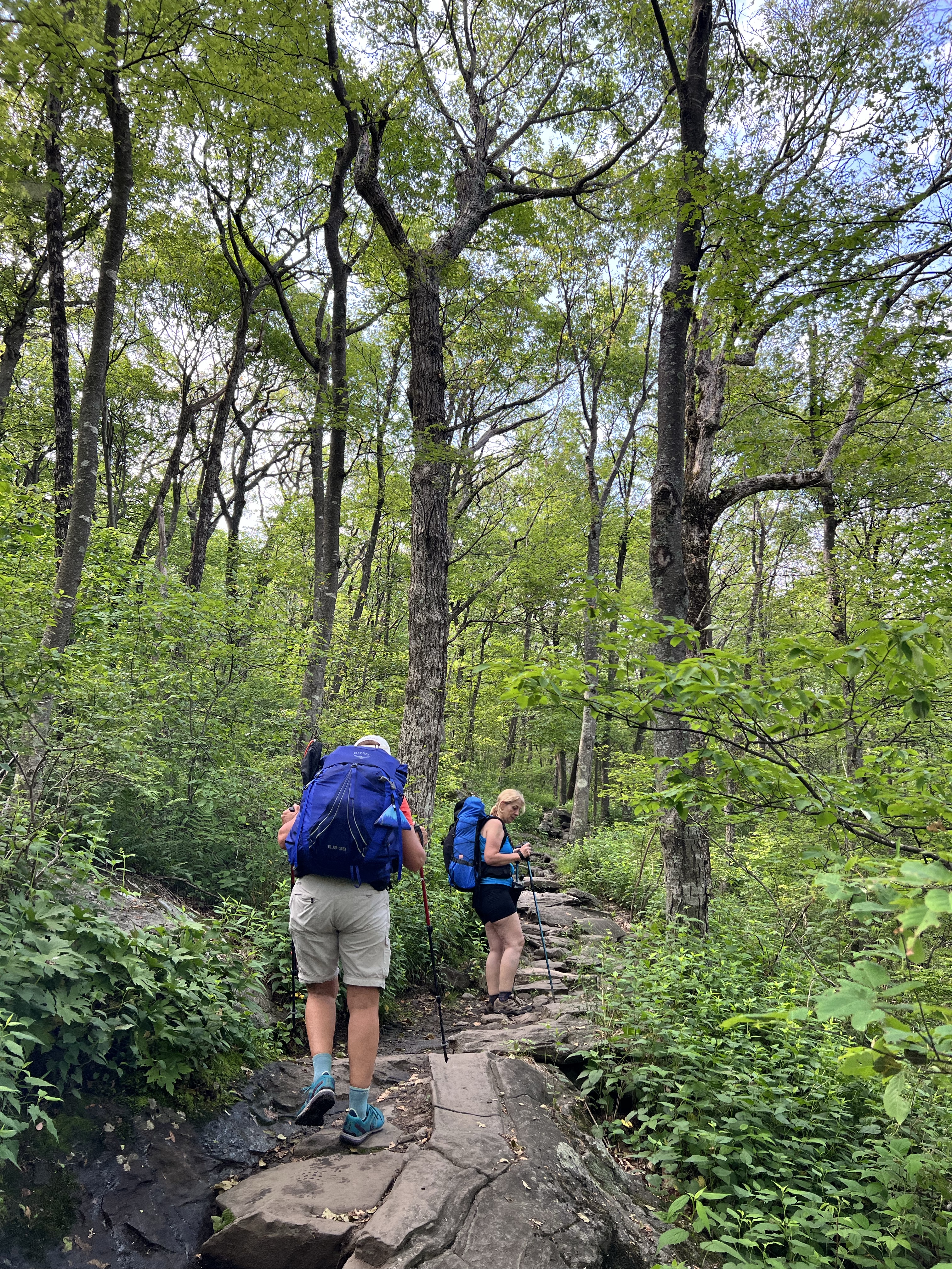
We arrived at the trailhead and Cathy and Anne had some help properly adjusting their packs from our fearless driver.
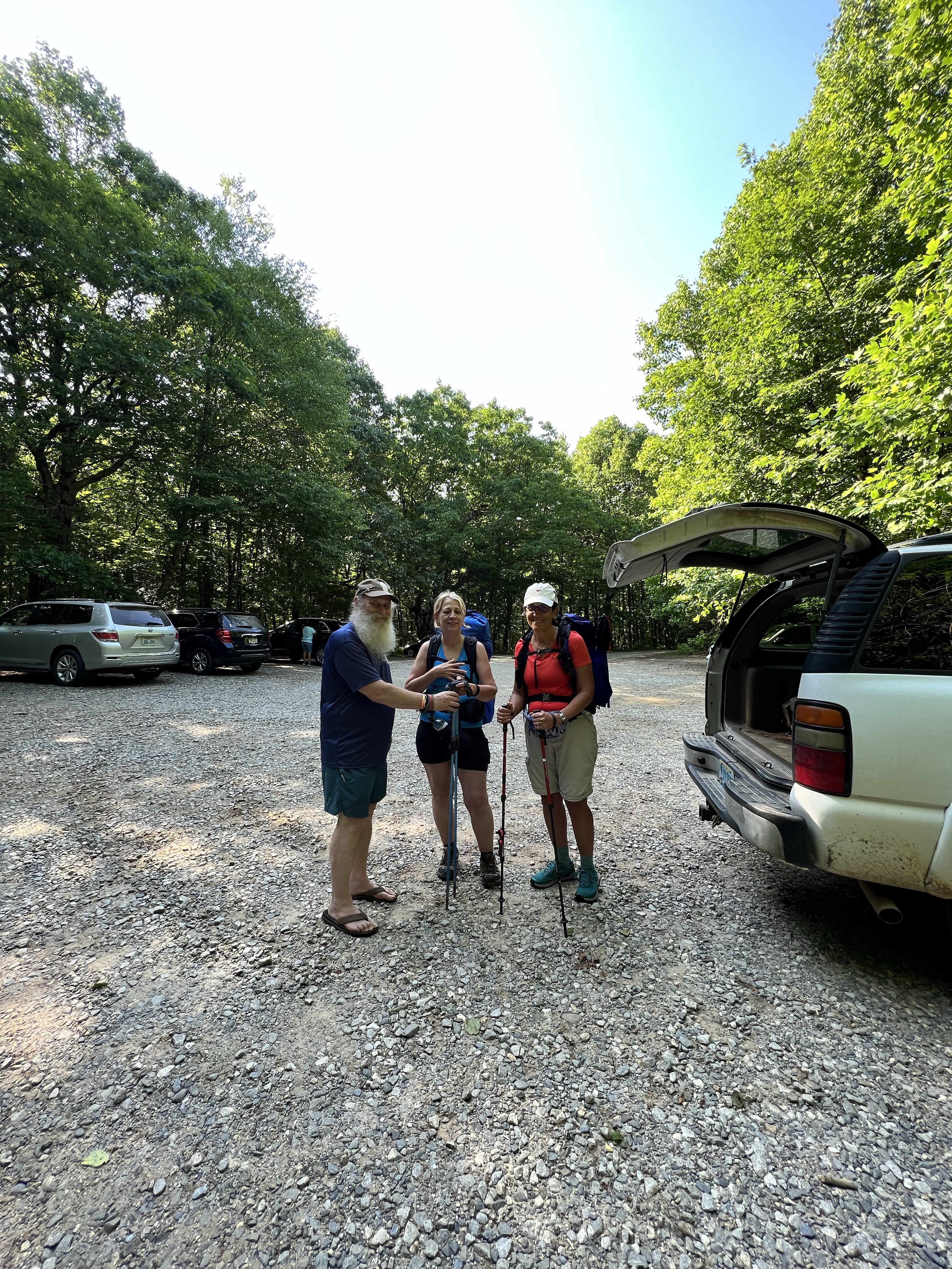
After a few photos and some last minute advice from Nimrod, we were off! We headed the wrong way down to Springer Mountain. I have zero regrets about backtracking this tiny section because I don’t want to skip a single bit of this trail unless it’s absolutely unavoidable. My pack was feeling good, my body felt ready for a good, long hike. It was a fairly easy trip to the southern terminus, but the rocks weren’t awesome. It’s hard to have to constantly look down and watch your step, especially if you’re easily distracted by every little flower and buzzy bee like I am. We got to the terminus, signed the log, took some photos, and turned back around, headed the right direction.
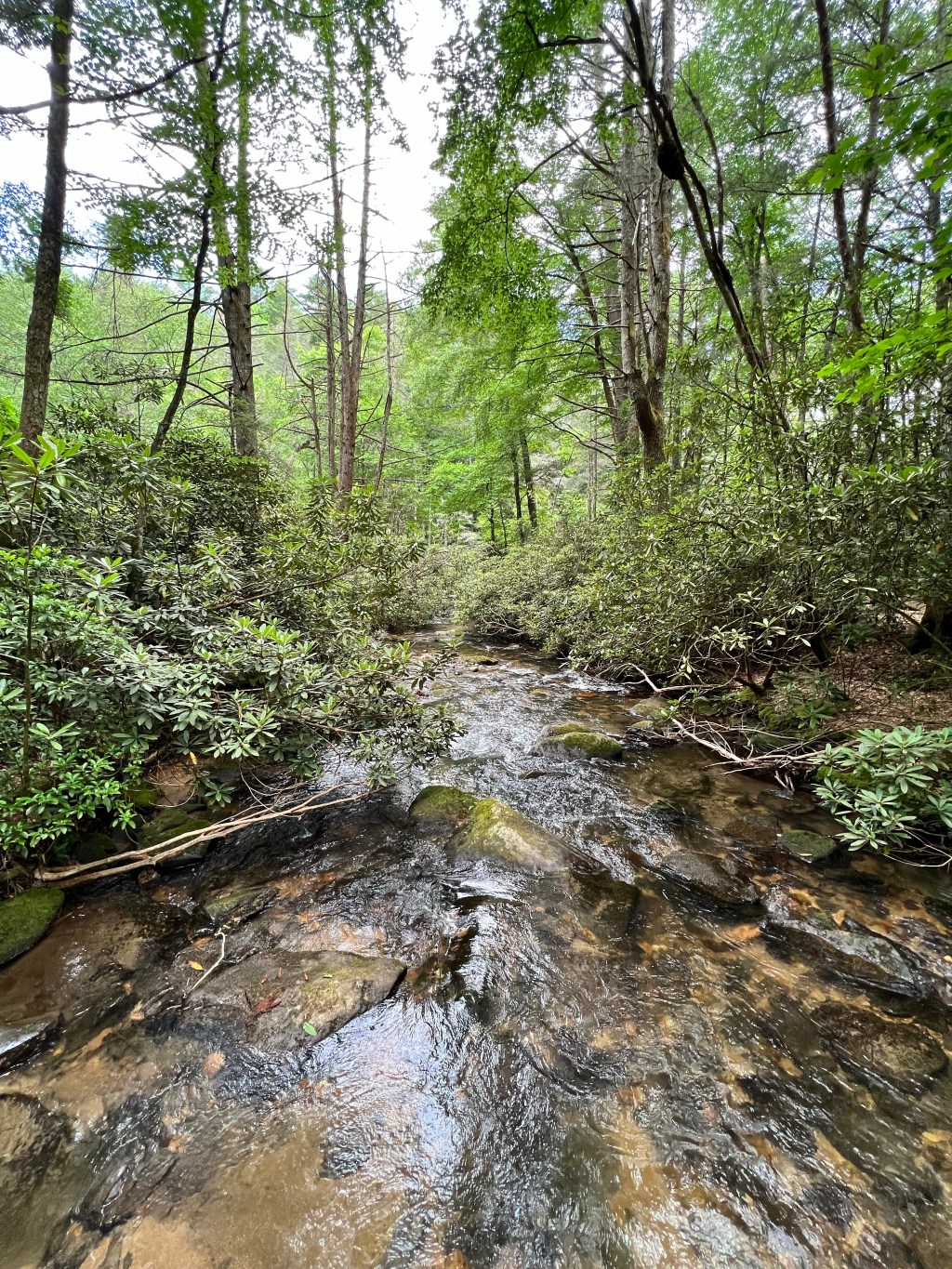
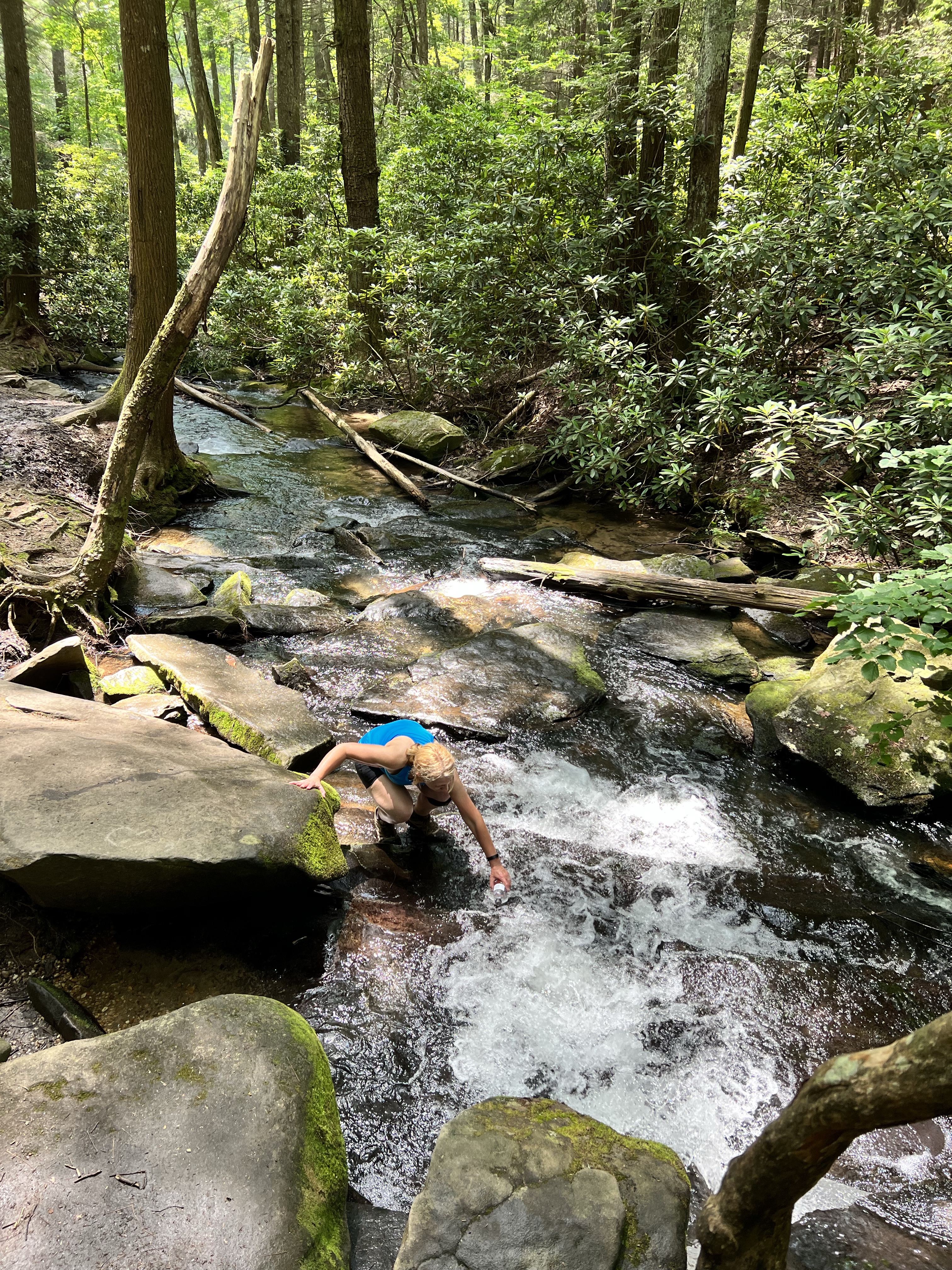
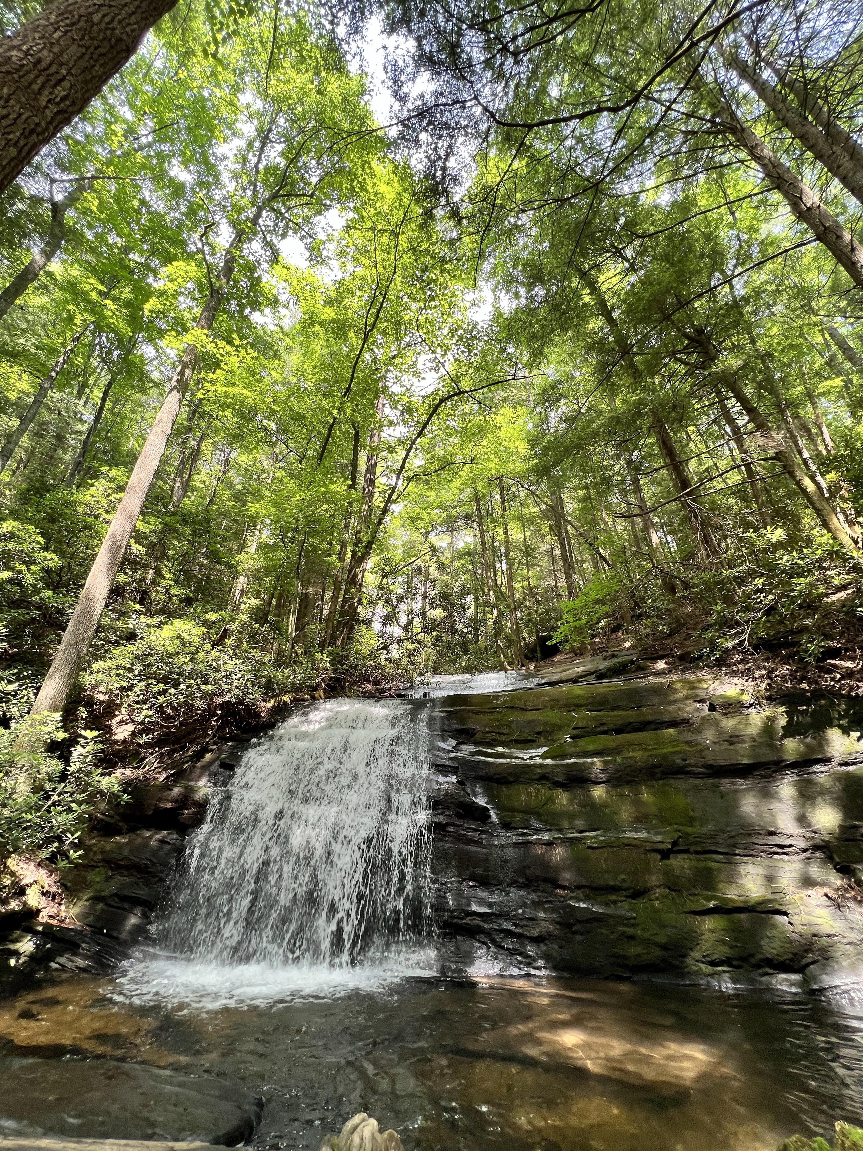
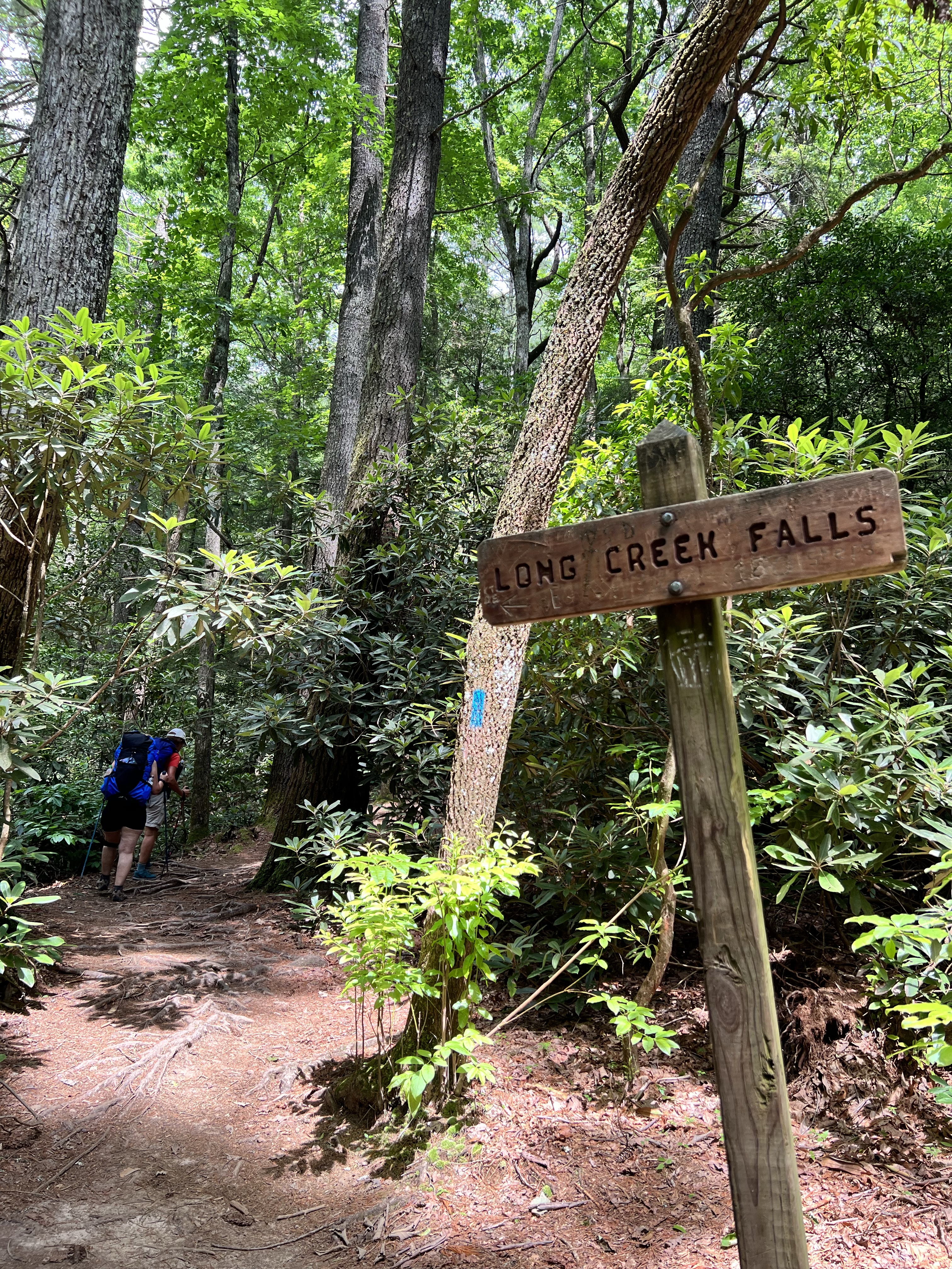
We hiked a little over eight miles that first day. In Florida, eight miles does not seem like much. But those miles kicked my butt! Going uphill took my breath away, and going downhill killed my knees. This is where I tell you that hiking is not always beautiful. It didn’t happen until the second day, but there was a period where I almost cried because my knees were hurting so badly. I’m just not used to going downhill like that. Cathy was having trouble with her knee too. But we pressed on. And on and on. We took a little side trail to Long Creek Falls. It was absolutely beautiful there! The cool mist coming off the waterfall felt so good after being so hot! We refilled our water bottles here. I just put my sawyer filter right on my smart water bottle and drank it, and it was so cool and refreshing!
We arrived at the shelter around dinner time. I think. My timeline is probably way off and I will for sure take notes next time I hike. I wasn’t planning on blogging about this section hike of the trail, but I figured it’s a good way to keep track of my hike, so here we are. I’ll be better prepared to jog my memory on the next section.
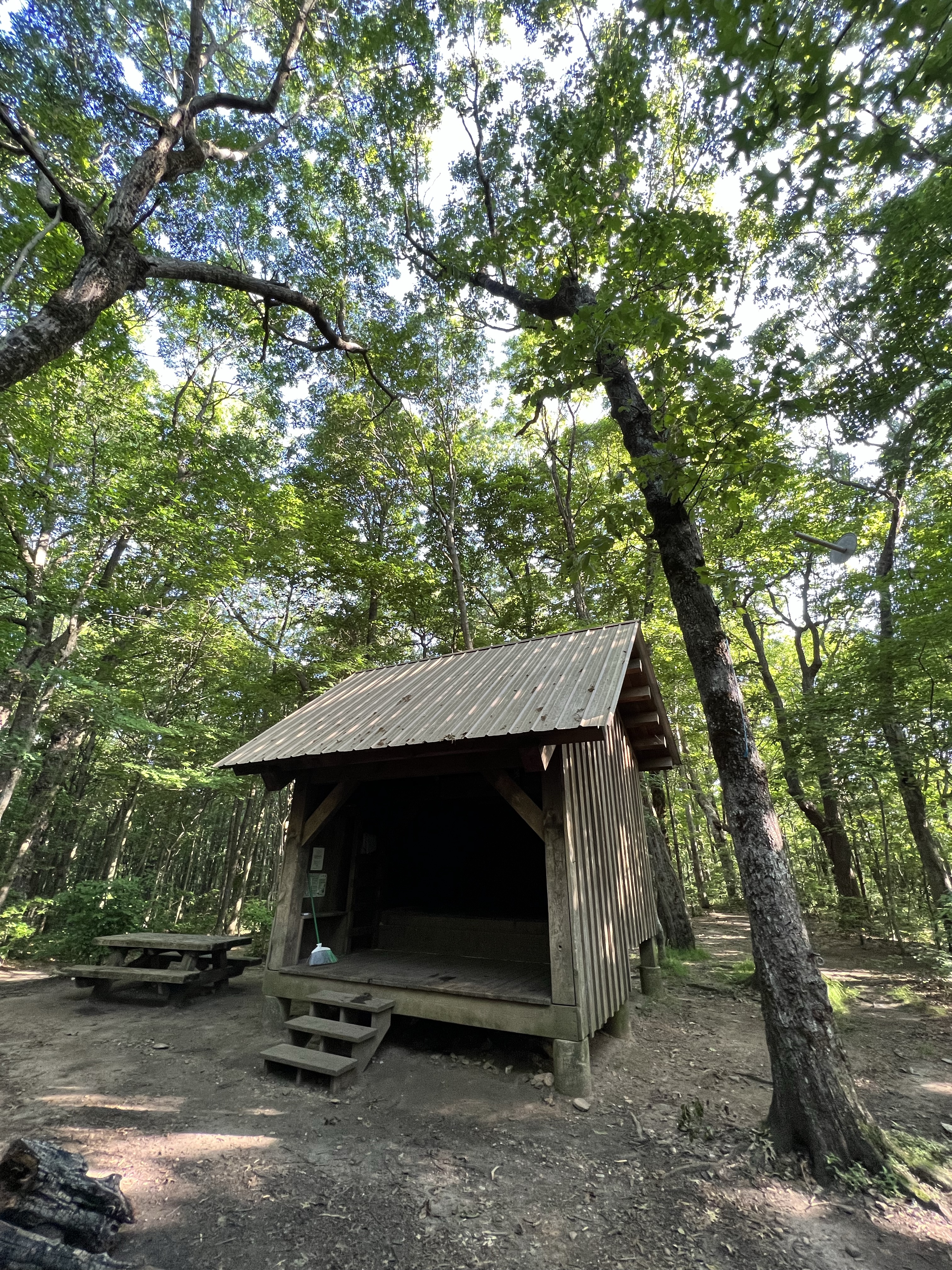
The shelters all basically look the same, just three walls and a roof. Some of them have a little loft area so more people can fit. Mice tend to be a problem in the shelters. We all preferred sleeping in our tents, and there were several tent sites near the shelter, along with a privy which I will spare you a photo of. It’s basically a composting toilet. A very smelly, very full one at that. Shall we talk about going potty in the woods? Nah, I’ll save that for another post.
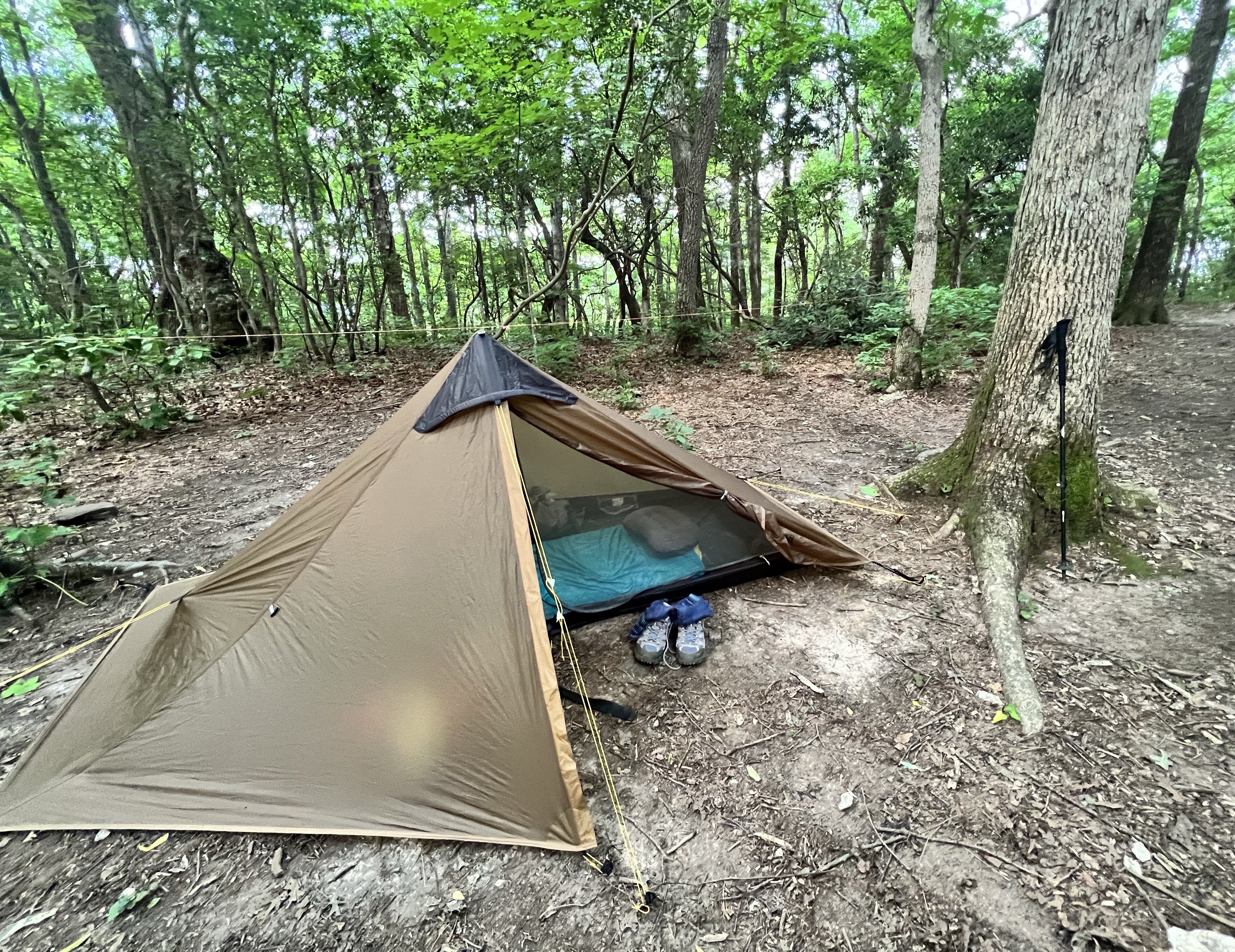
My tiny home for the night is comfy and cozy. When you’re on the trail, they call 9:00pm “hiker midnight.” I was ready for bed around 8pm every night, and by then most of the other hikers were in their tents fast asleep. During the thru-hiking season, there’s a thing called the bubble. This is a big group of hikers who all started their hike around the same time. Most people start their hike at Springer Mountain and head north to Katahdin in Maine. These are called NOBO hikers or north bounders. Those who hike from Katahdin to Springer are SOBO (south bound). Katahdin closes in late October, so it’s a race to get there before then. The majority of hikers start around the first day of spring. So, the bubble consists of this large group of people. We went quite a while after they had passed through, so it was not crowded at all. But we did have the pleasure of meeting several section hikers who were doing a LASH (Long Ass Section Hike) and bunch who were doing shorter sections. We met one thru-hiker who was doing what’s called a Flip Flop. Meaning he’ll hike north to the halfway point, then go up to Maine and hike south back to that halfway point, thus covering the entire trail in one go.
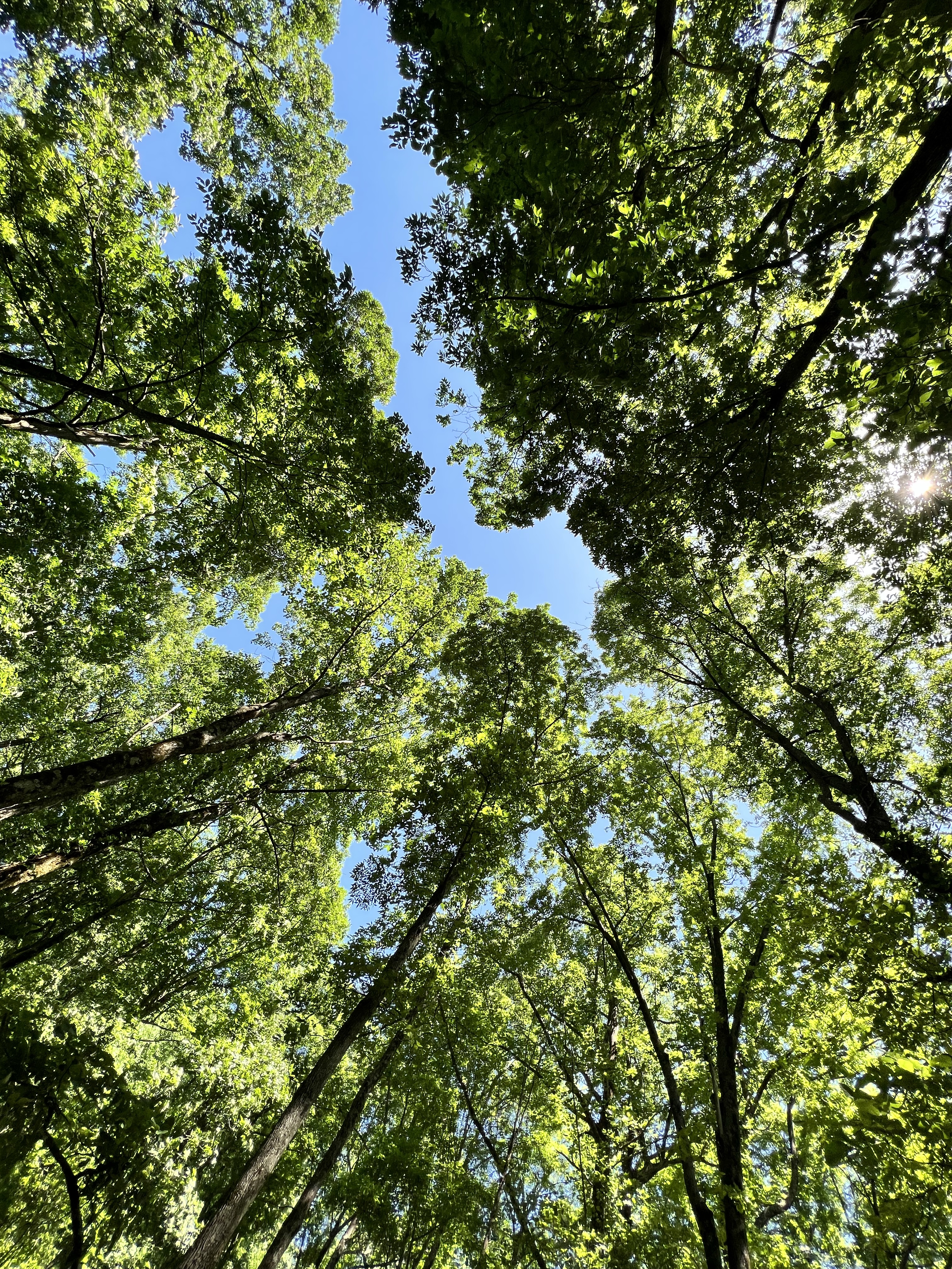

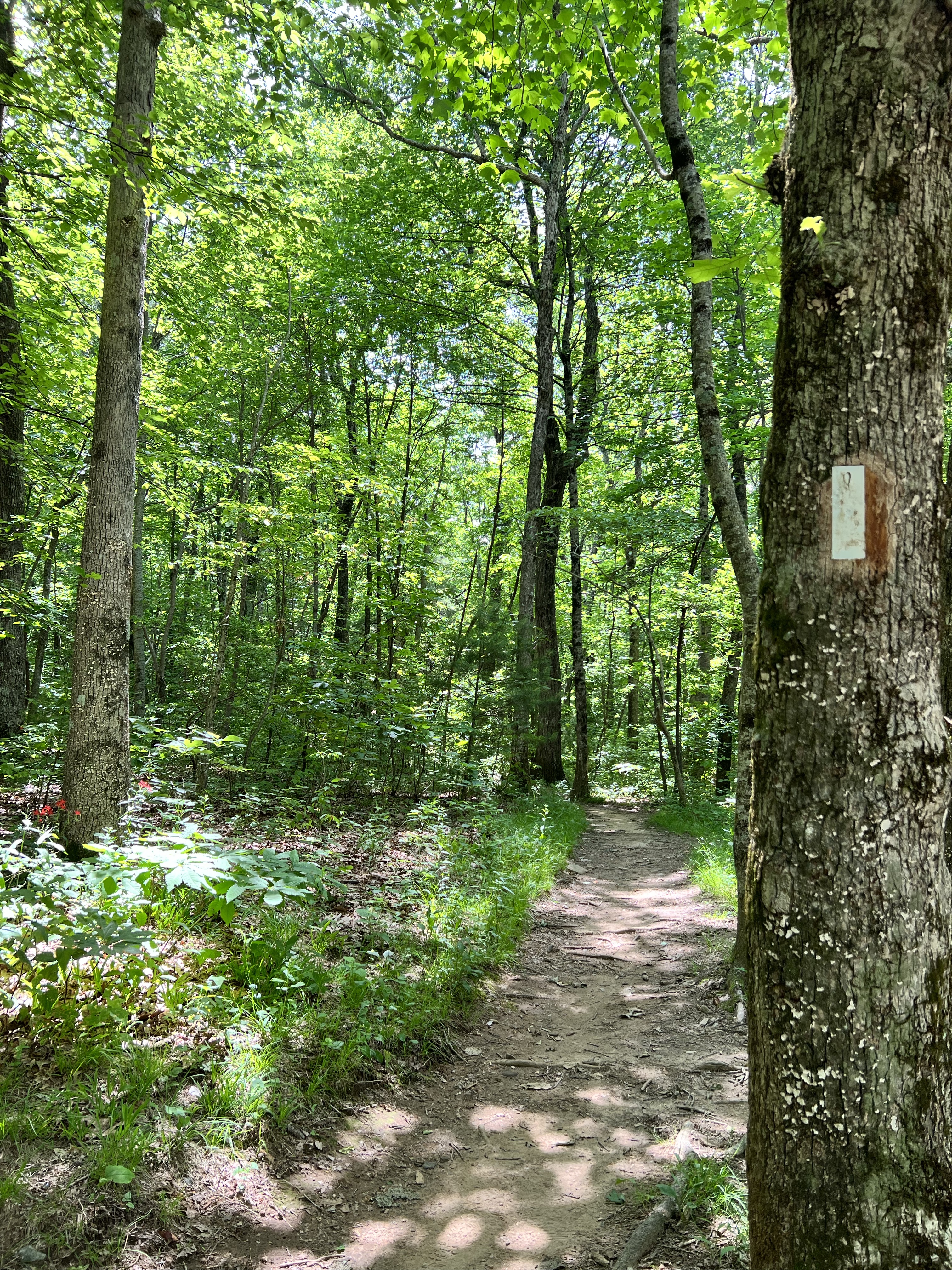
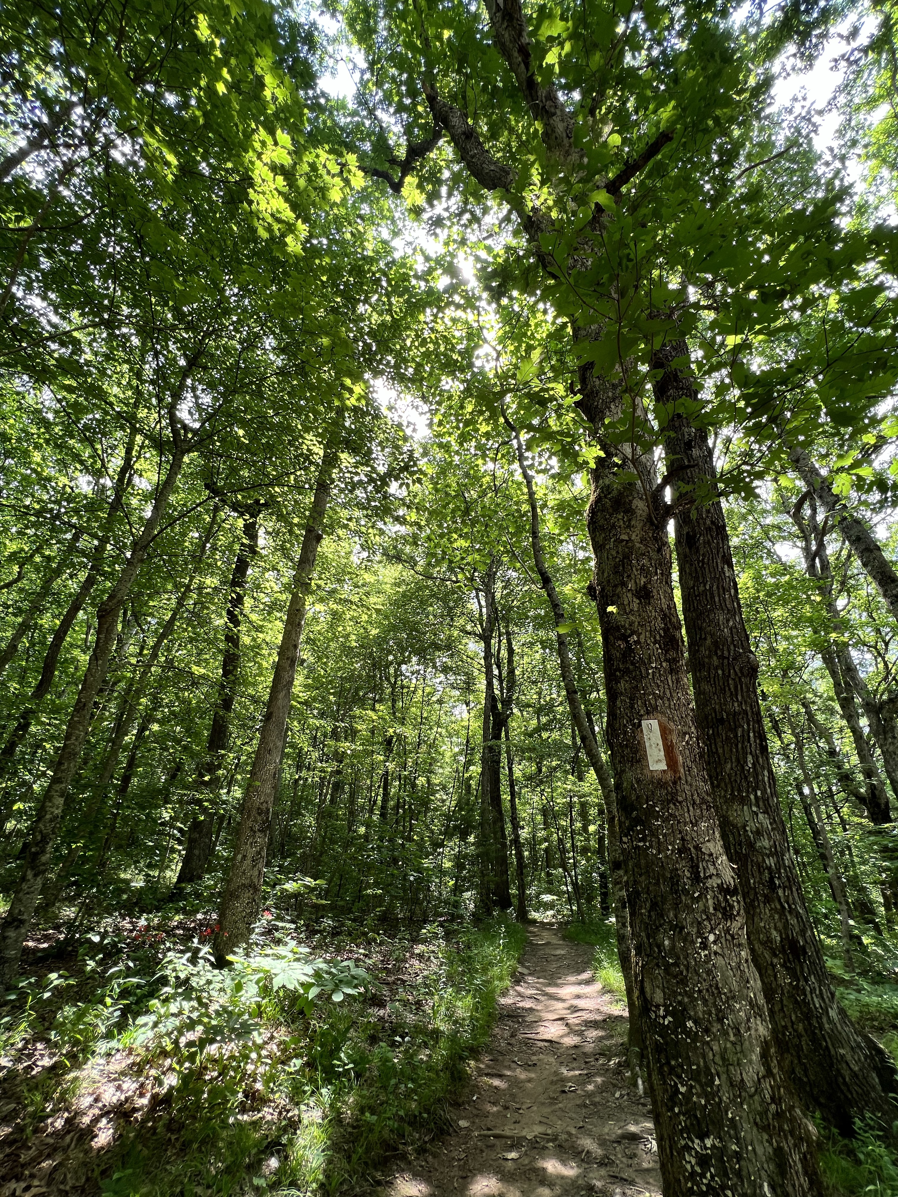

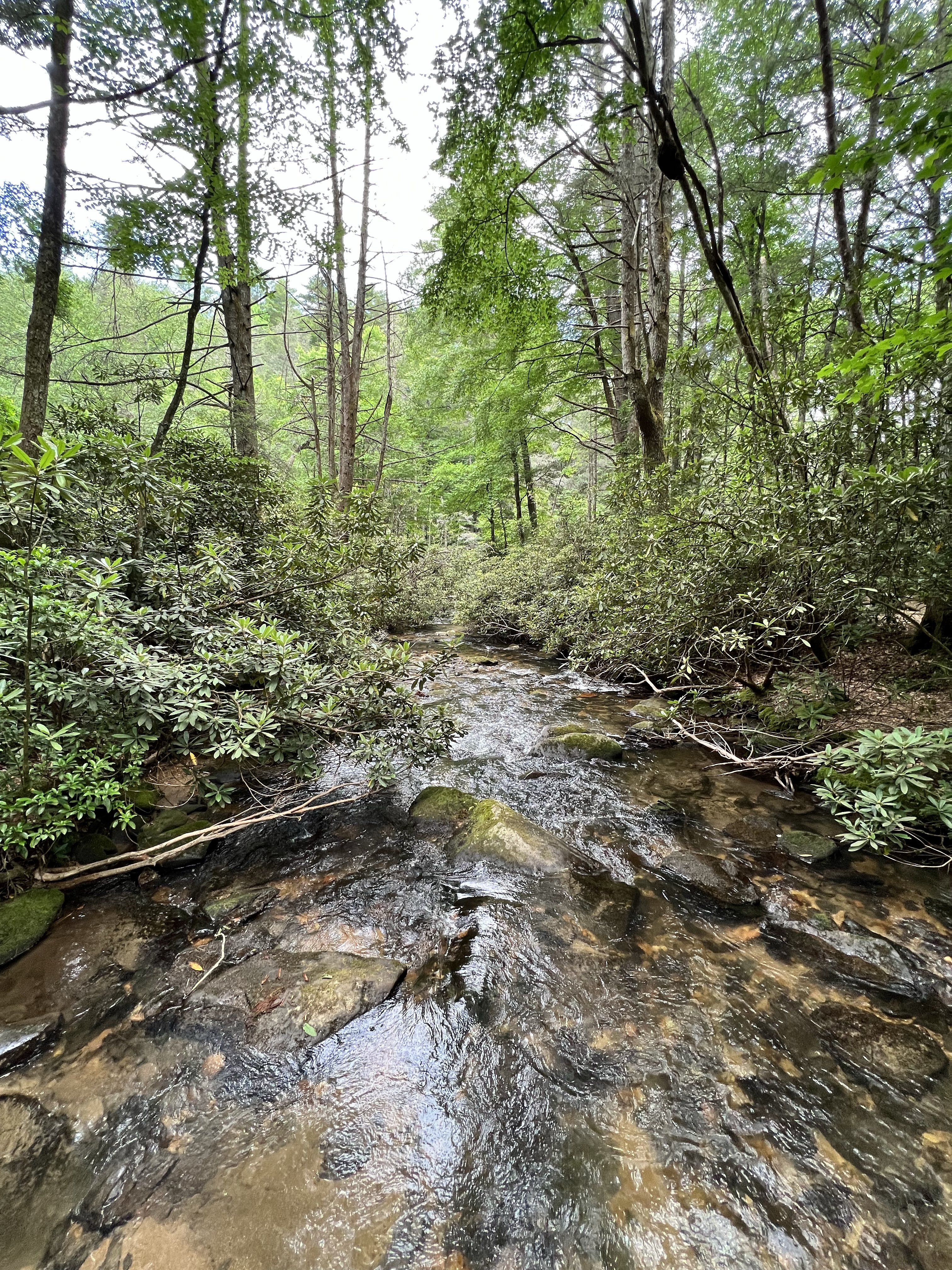
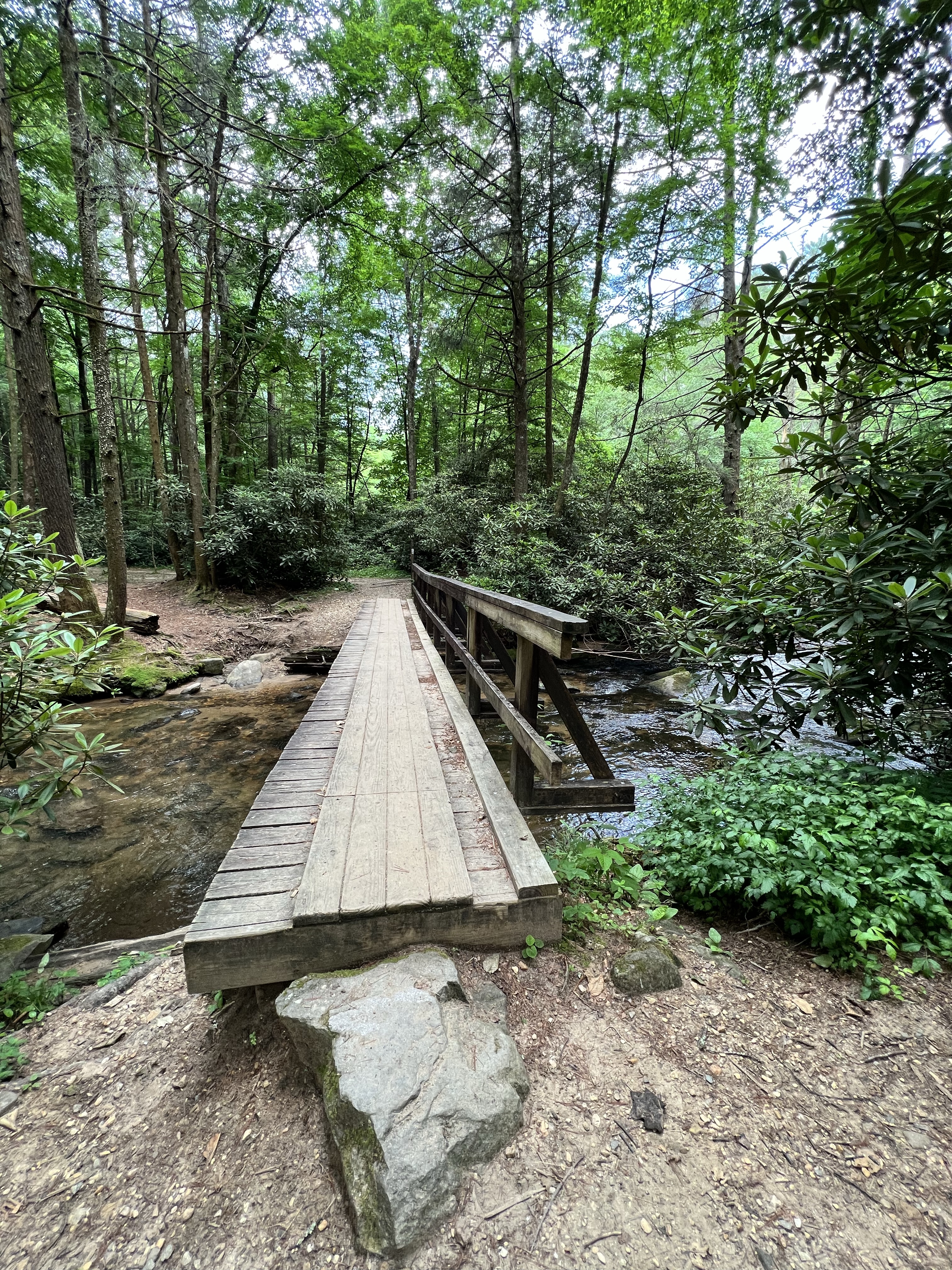
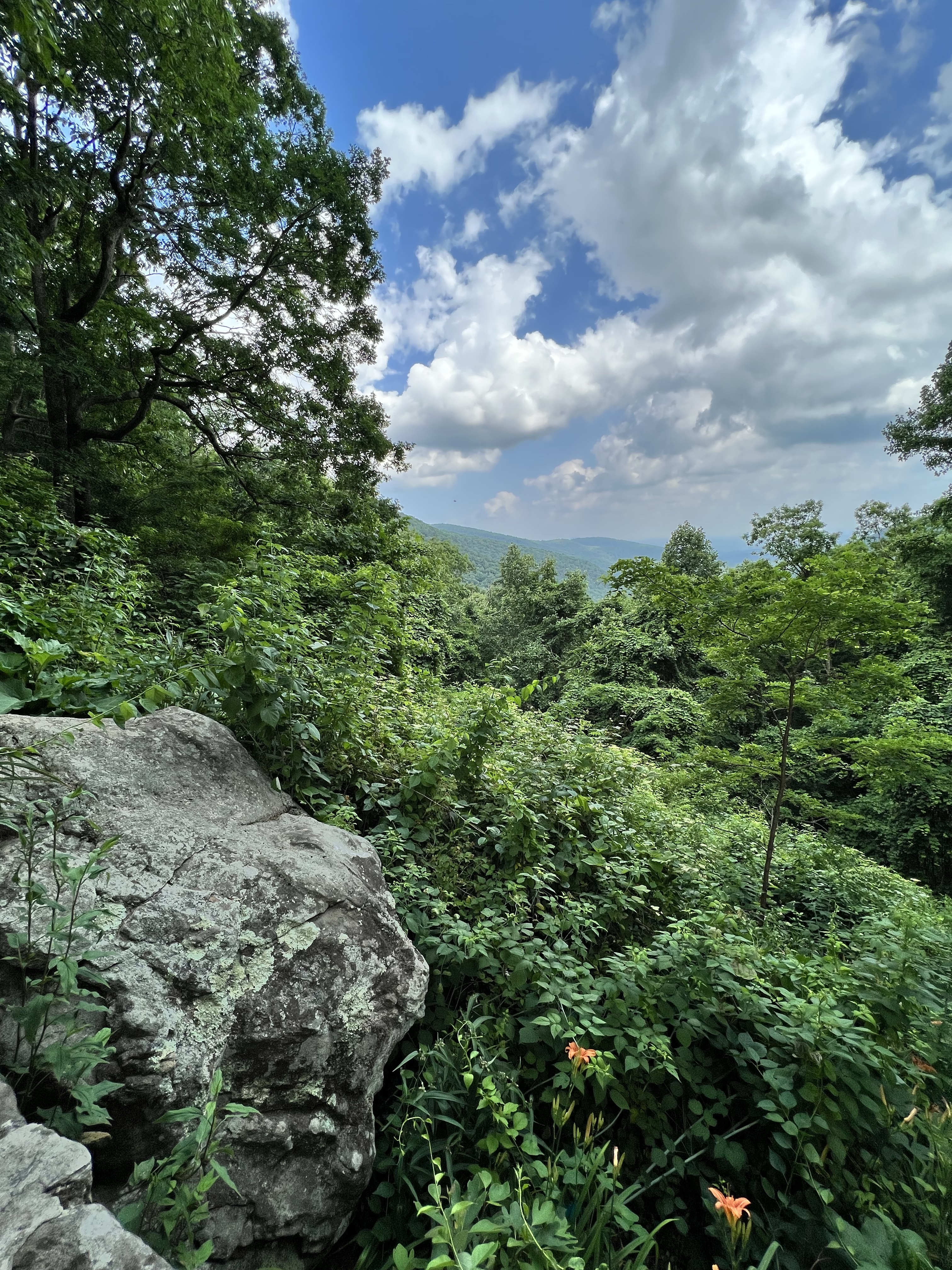
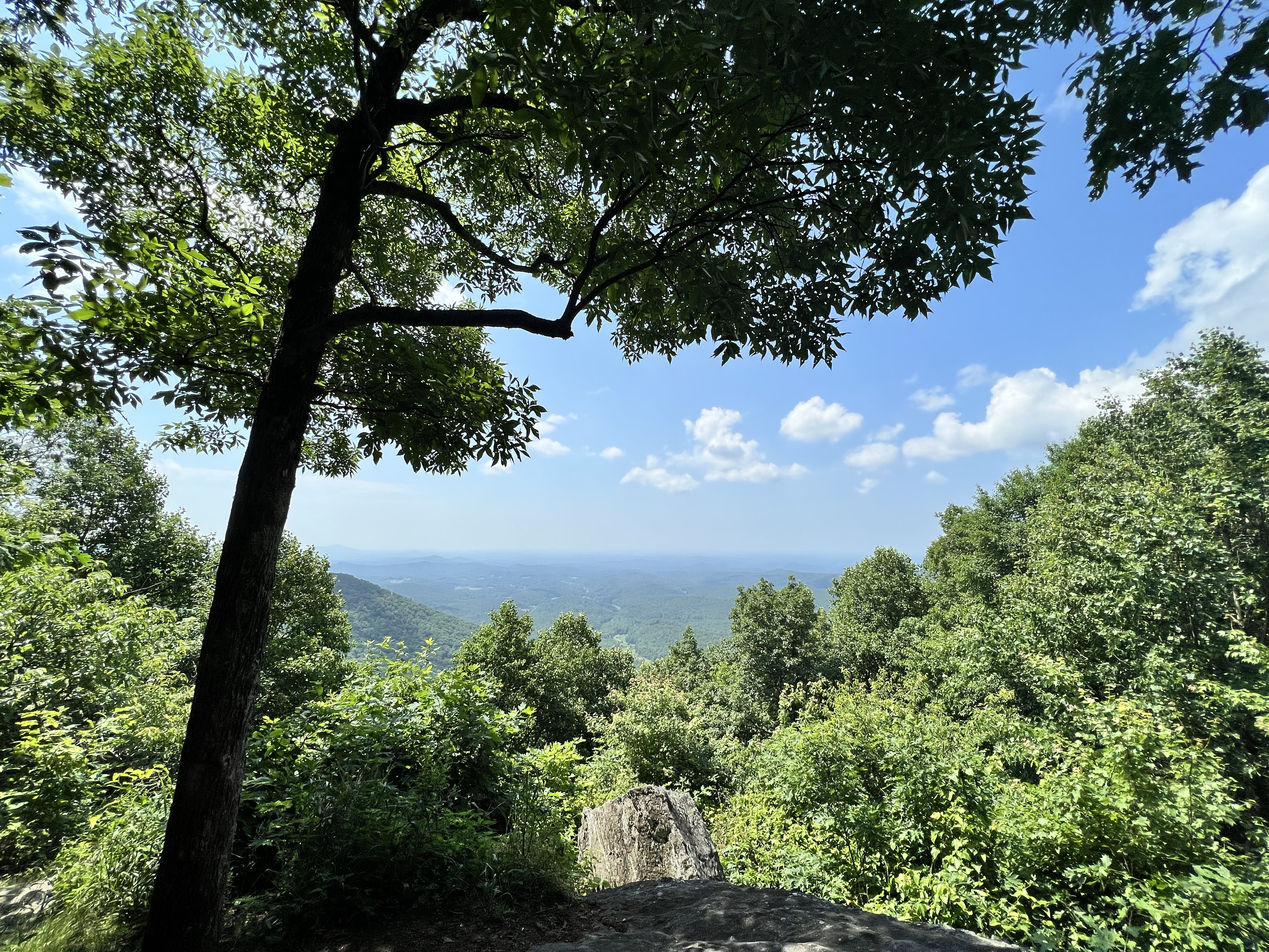
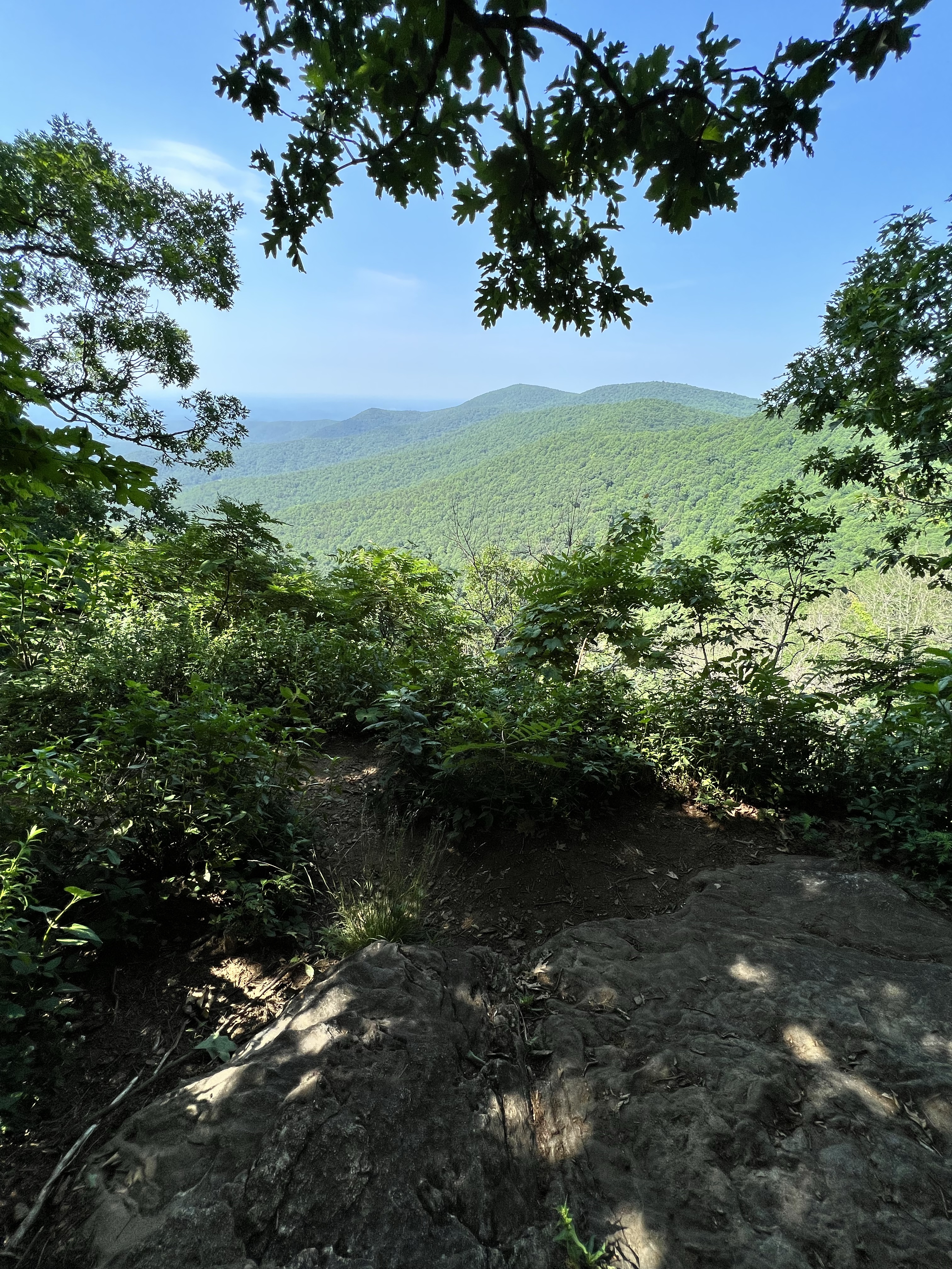
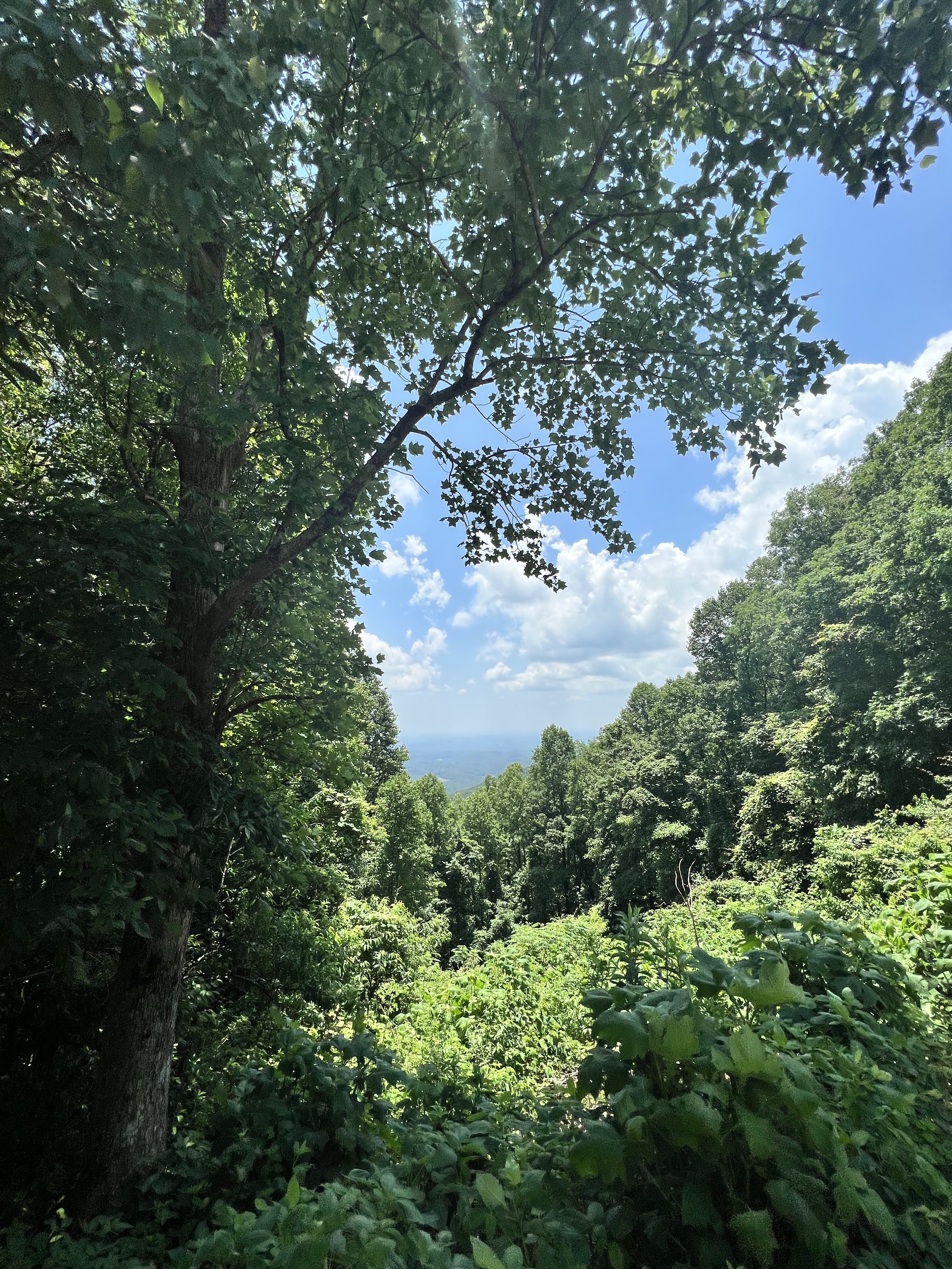
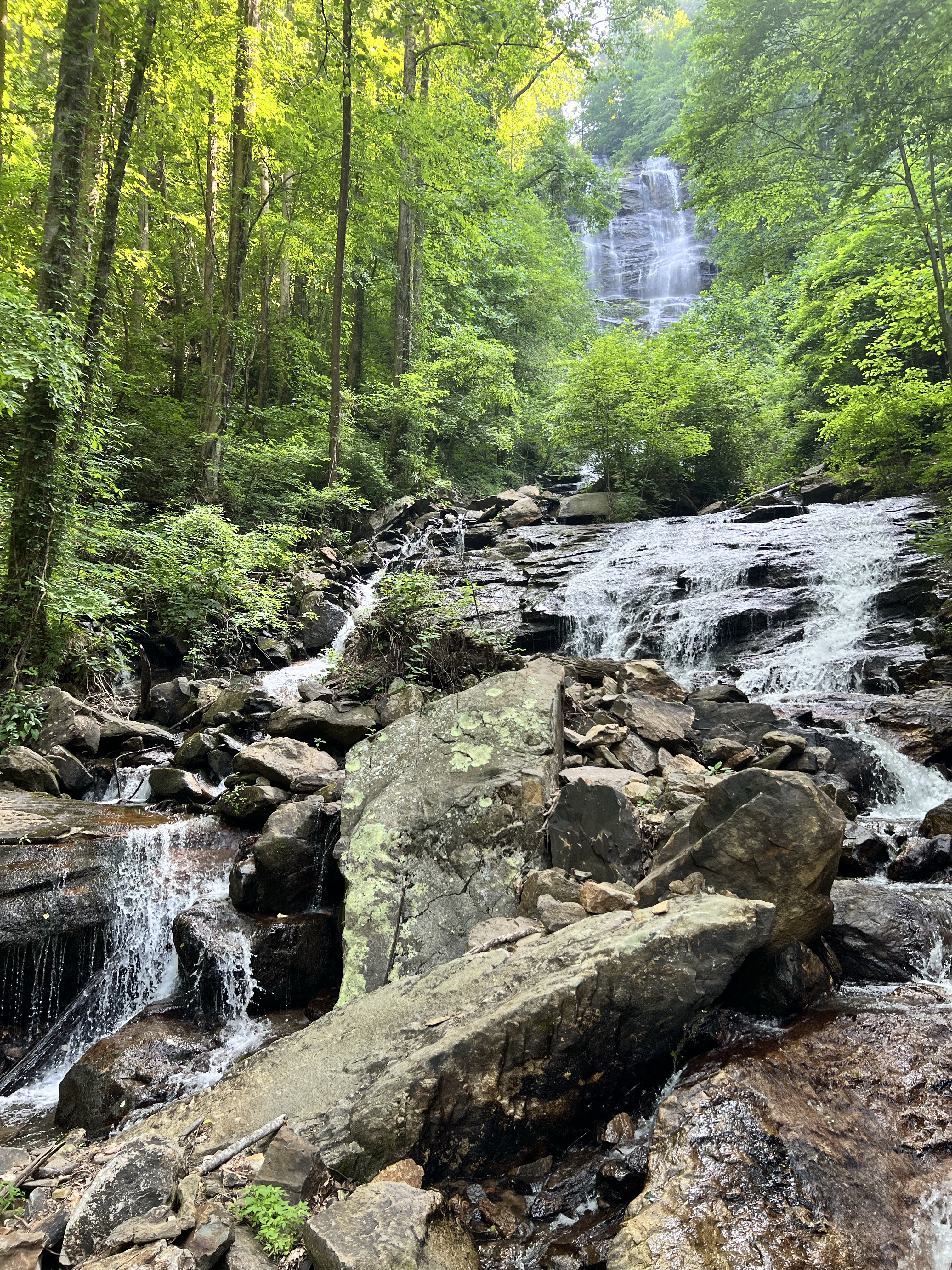
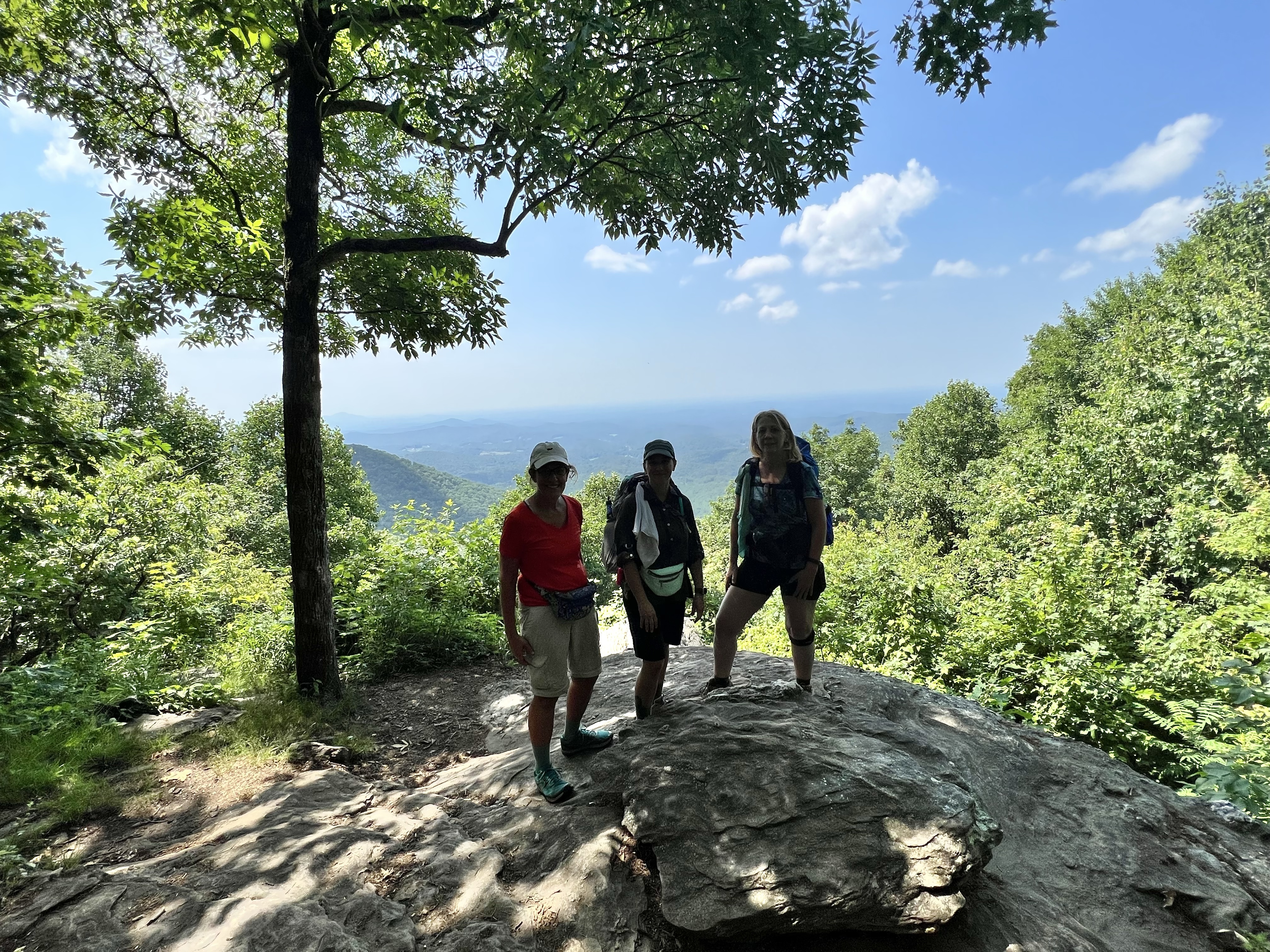
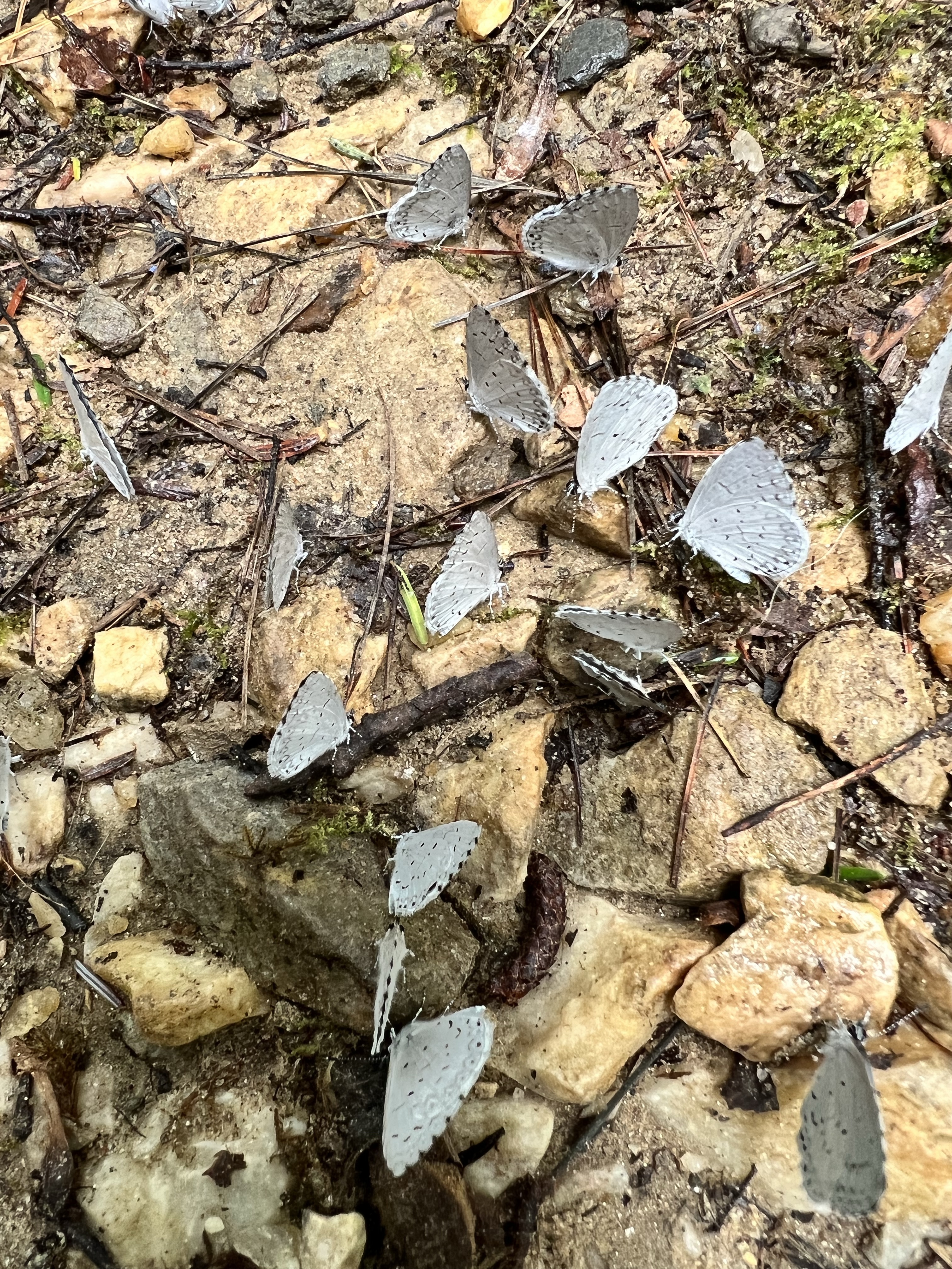

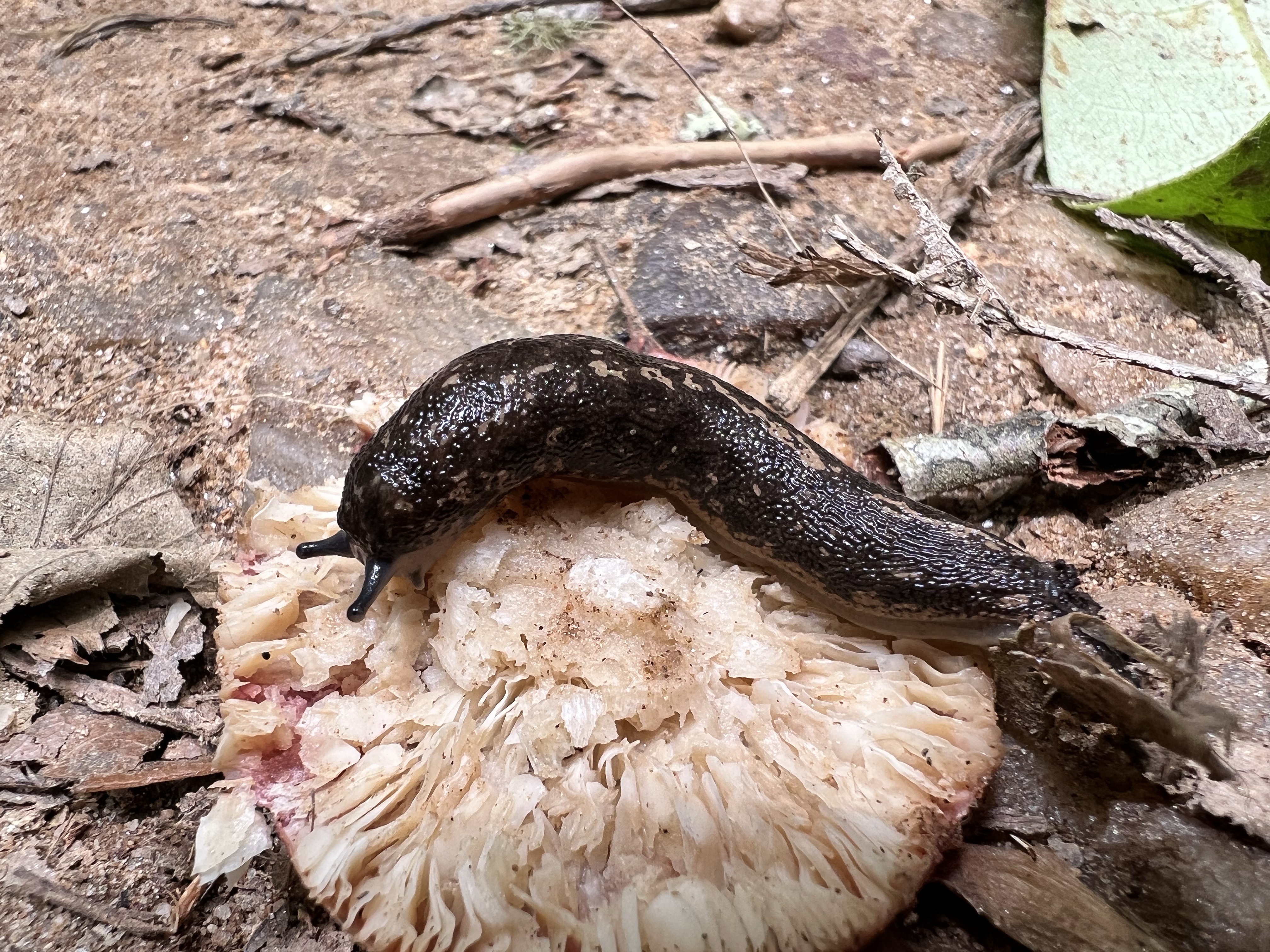

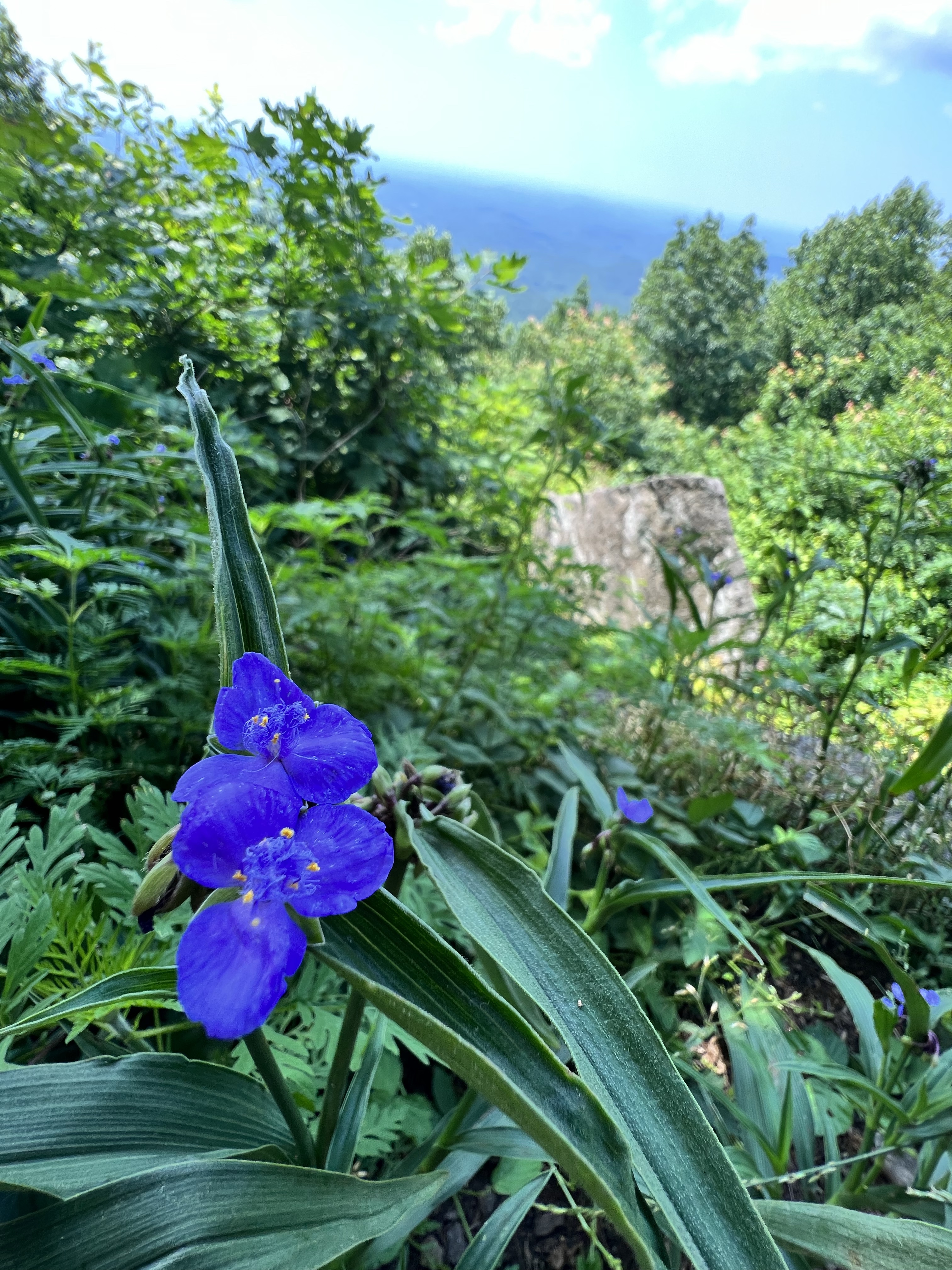
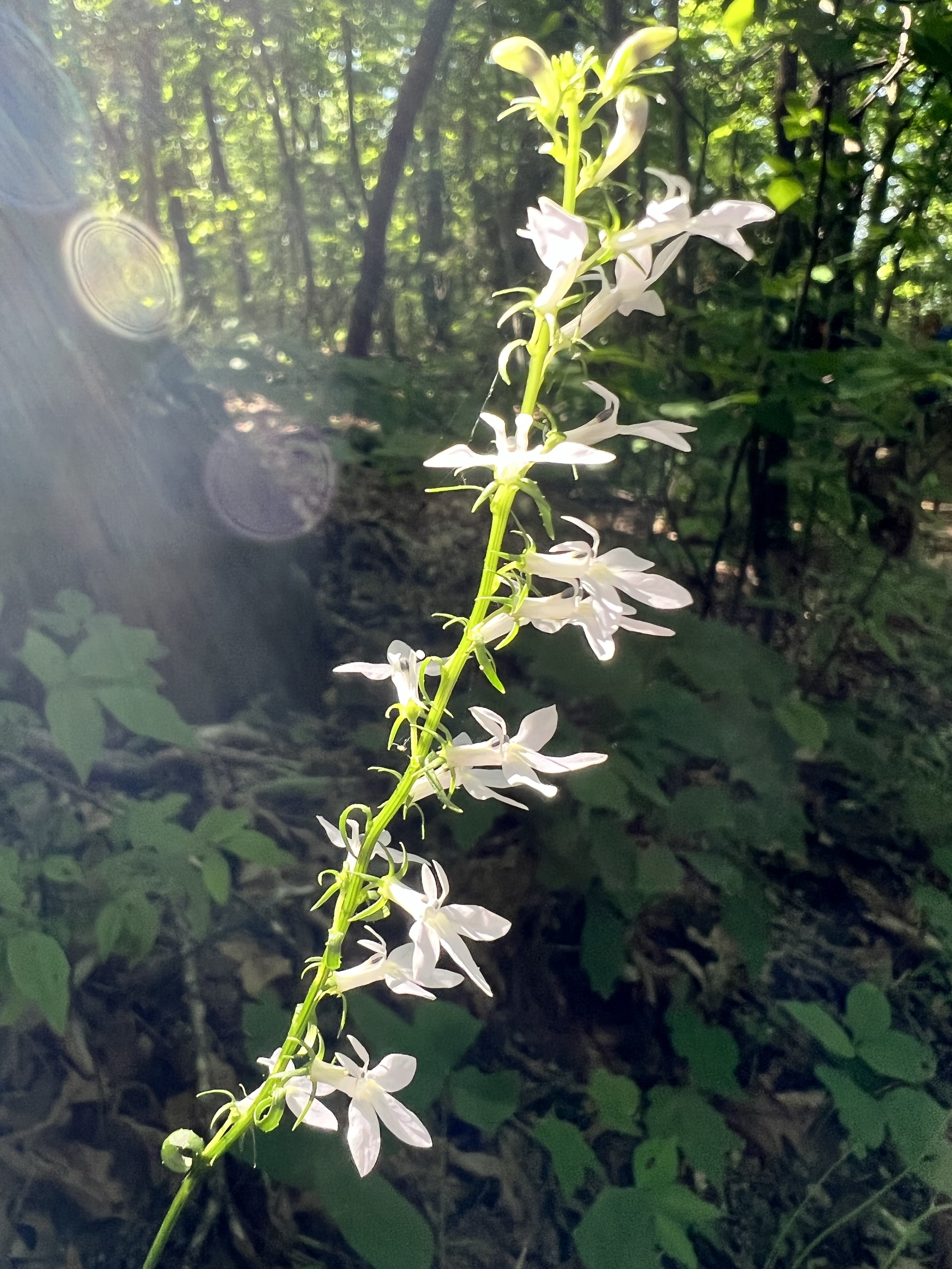
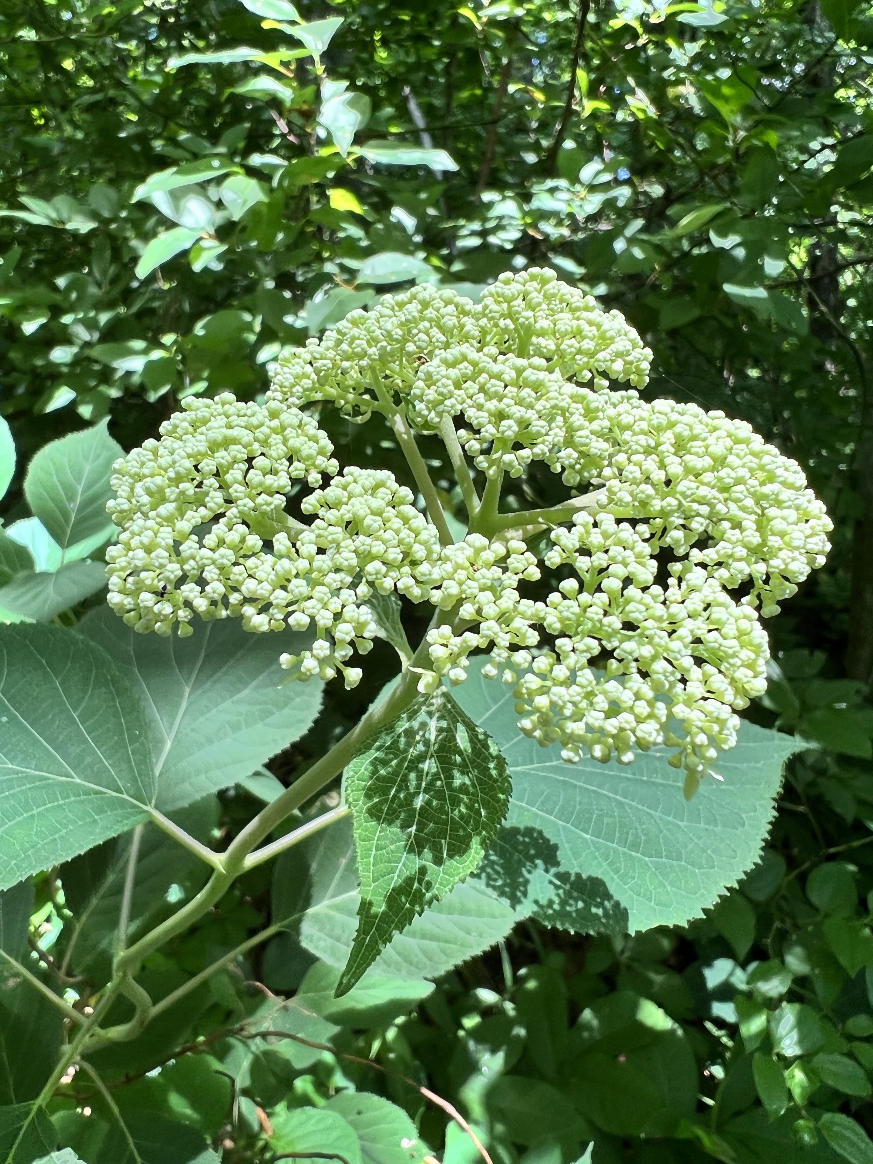
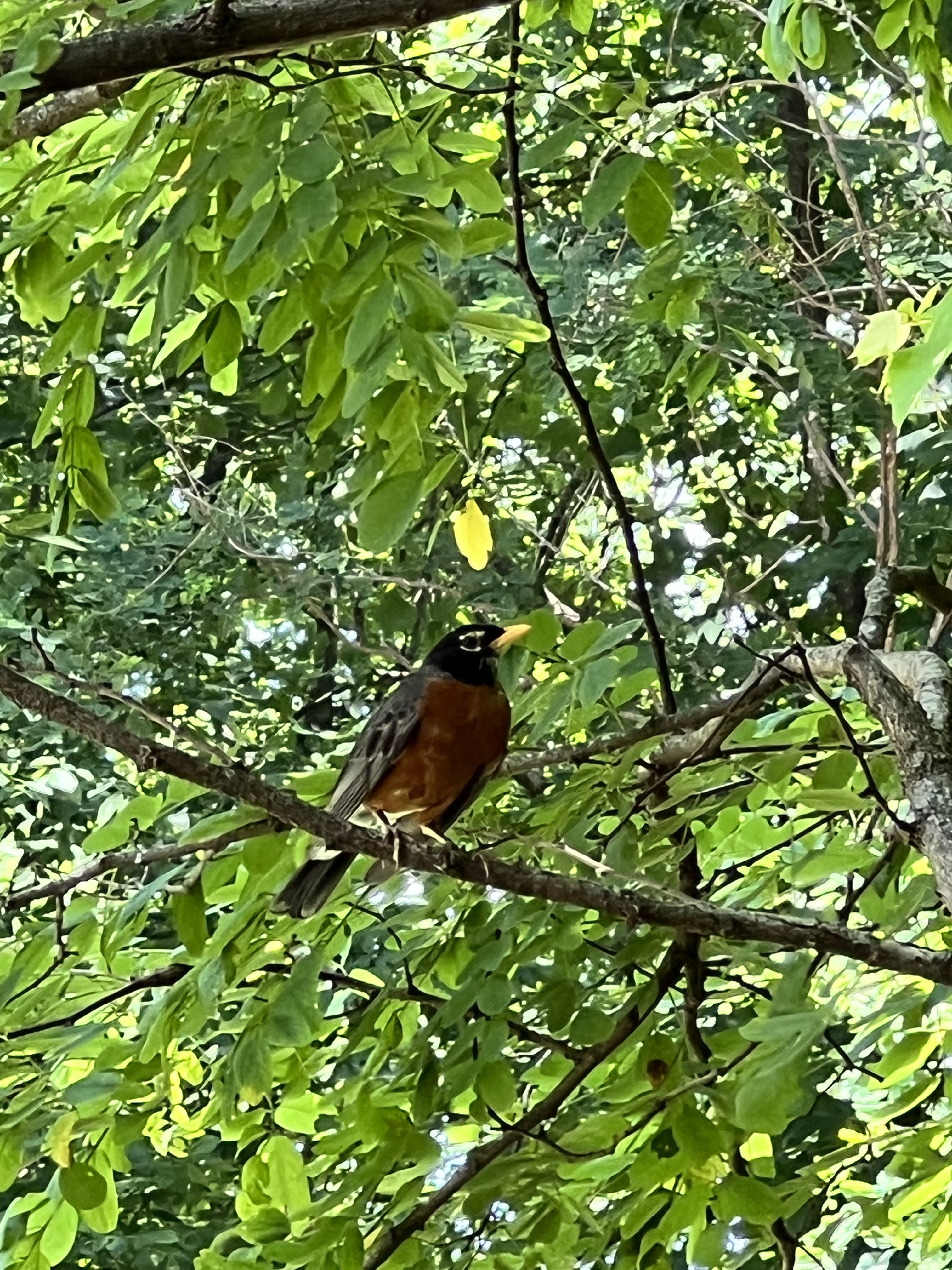
Here are just some random photos from the hike. To summarize the end, because this is getting really long and I have to get back to the real world, we slept in our tents, and then took off the next day around 8-9am or so. We hiked about eight miles the second day, slept in a tent again, saw lots of cool streams and little waterfalls. Enjoyed some good conversation at the shelter with other hikers. Then we did it all over again one more time, minus the sleeping part, and Nimrod picked us up at Woody Gap and took us back to the Above the Clouds hostel. When we ended our hike at Woody Gap, there was a robin that flew in super close to say hi. I felt like he was bidding me adieu until next time.
My next hike will happen in September, and from there I’m hoping to go about once a month when the weather and my schedule permit. At this rate, it should take me about forever to section hike the whole trail, but next time will be a longer hike. And the time after that I’m going to do some bigger miles every day. For now, I’ll be training the best I can here in flat Florida and enjoying my hikes here with my awesome RH Photo Adventures hikers and my Gals Who Hike Florida hikers. Until next time, happy trails!

Leave a reply to Cathy Cancel reply